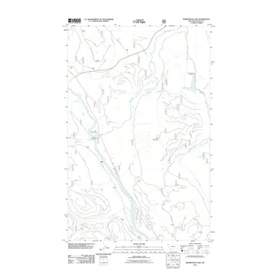
2011 Map of Kilbrennan Lake
USGS Topo · Published 2011About this map
The confluence of the Yaak River and the Kootenai River defines this northwest Montana landscape, where the small settlement of Yakt sits along the Kootenai's eastern bank. A complex network of Forest Service and access roads, including Eastside Rd and Kilbrennan Rd, threads through the timbered slopes surrounding Yaak Mountain. This 2011 survey documents a region heavily utilized for backcountry recreation, as evidenced by the distribution of the Yaak Campground, Yaak River Campground, and Kilbrennan Lake Campground.
Find a feature on this map
97 named features on this map. Tap any name to fly to it.
Don’t see what you’re looking for? This feature index may not catch every label — zoom into the map to look around manually.
Map Details
Editions of this 2011 Kilbrennan Lake Map
This is the sole edition of this map. No revisions or reprints were ever made.
Other maps of this area

1911 · Priest Lake
USGS Topo · 1:250,000

1913 · Priest Lake
USGS Topo · 1:250,000

1920 · Libby
USGS Topo · 1:125,000

1930 · Libby
USGS Topo · 1:125,000

1932 · Libby
USGS Topo · 1:125,000

1951 · Mt Pend Oreille
USGS Topo · 1:62,500

1957 · Kalispell
USGS Topo · 1:250,000

1958 · Sandpoint
USGS Topo · 1:250,000

1960 · Kalispell
USGS Topo · 1:250,000

1961 · Kalispell
USGS Topo · 1:250,000