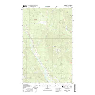
2017 Map of Kilbrennan Lake
USGS Topo · Published 2017About this map
Yakt sits at a critical bend in the Kootenai River in this 2017 study of Lincoln County's northwestern corner. This area is defined by the convergence of major waterways, where the Yaak River joins the Kootenai, and the steep rise of the Purcell Mountains. The map details the complex drainage system of the Kootenai National Forest, featuring smaller water bodies like Kilbrennan Lake and numerous tributary creeks including Ruby Cr and Pine Cr. Forest Service roads, such as the Yaak River Rd and Kilbrennan Rd, provide the primary access through this heavily timbered landscape. Notable peaks like Yaak Mtn overlook the river valleys, while the Public Land Survey System grid provides a framework for the township and range boundaries that define property and resource management in this region of the American Northwest.
Find a feature on this map
28 named features on this map. Tap any name to fly to it.
Don’t see what you’re looking for? This feature index may not catch every label — zoom into the map to look around manually.
Map Details
Editions of this 2017 Kilbrennan Lake Map
This is the sole edition of this map. No revisions or reprints were ever made.
Other maps of this area

1911 · Priest Lake
USGS Topo · 1:250,000

1913 · Priest Lake
USGS Topo · 1:250,000

1920 · Libby
USGS Topo · 1:125,000

1930 · Libby
USGS Topo · 1:125,000

1932 · Libby
USGS Topo · 1:125,000

1951 · Mt Pend Oreille
USGS Topo · 1:62,500

1957 · Kalispell
USGS Topo · 1:250,000

1958 · Sandpoint
USGS Topo · 1:250,000

1960 · Kalispell
USGS Topo · 1:250,000

1961 · Kalispell
USGS Topo · 1:250,000