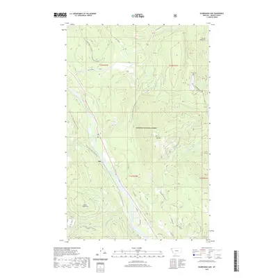
2020 Map of Kilbrennan Lake
USGS Topo · Published 2020About this map
The Kootenai River carves a deep valley through Lincoln County, where the small settlement of Yakt serves as a lone community hub. This mountainous terrain is defined by the high peaks of the Purcell Mountains to the north and the Cabinet Mountains to the south, all contained within the Kootenai National Forest. The confluence of the Yaak River and the Kootenai River marks a significant hydrological junction, surrounded by several smaller drainages like O'Brien Creek and Ruby Creek. Recreation and forestry shape the modern landscape, evidenced by the Cougar Ridge X-C Ski area and a dense network of forest development roads. Higher elevations such as Yaak Mountain overlook Kilbrennan Lake, a prominent water body accessed by Kilbrennan Lake Road.
Find a feature on this map
36 named features on this map. Tap any name to fly to it.
Don’t see what you’re looking for? This feature index may not catch every label — zoom into the map to look around manually.
Map Details
Editions of this 2020 Kilbrennan Lake Map
This is the sole edition of this map. No revisions or reprints were ever made.
Other maps of this area

1911 · Priest Lake
USGS Topo · 1:250,000

1913 · Priest Lake
USGS Topo · 1:250,000

1920 · Libby
USGS Topo · 1:125,000

1930 · Libby
USGS Topo · 1:125,000

1932 · Libby
USGS Topo · 1:125,000

1951 · Mt Pend Oreille
USGS Topo · 1:62,500

1957 · Kalispell
USGS Topo · 1:250,000

1958 · Sandpoint
USGS Topo · 1:250,000

1960 · Kalispell
USGS Topo · 1:250,000

1961 · Kalispell
USGS Topo · 1:250,000