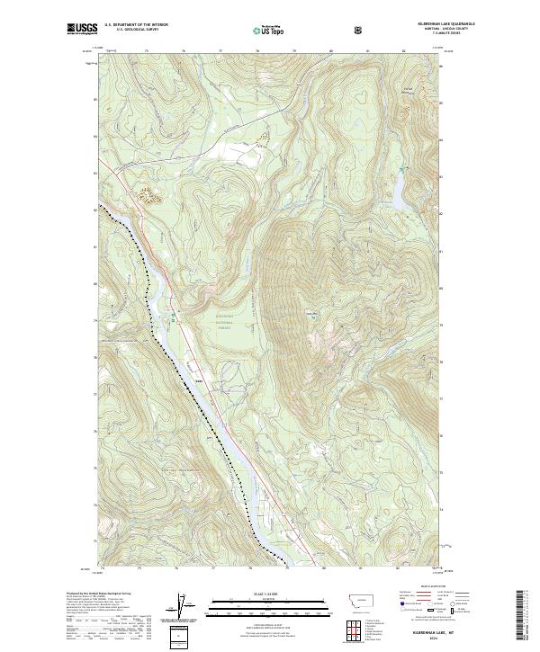
2024 Map of Kilbrennan Lake
USGS Topo · Published 2024About this map
Kootenai National Forest dominates this northern Montana landscape, where the Purcell Mountains and Cabinet Mountains converge at the valley floors. The small settlement of Yakt sits positioned between the sweeping bend of the Kootenai River and the high peaks, serving as a focal point for the mountain roads that thread through the timbered terrain. The geography here is defined by significant waterways, including the Yaak River and several tributary systems such as Pine Creek and Star Creek.
Find a feature on this map
41 named features on this map. Tap any name to fly to it.
Don’t see what you’re looking for? This feature index may not catch every label — zoom into the map to look around manually.
Map Details
Editions of this 2024 Kilbrennan Lake Map
This is the sole edition of this map. No revisions or reprints were ever made.
Other maps of this area

1911 · Priest Lake
USGS Topo · 1:250,000

1913 · Priest Lake
USGS Topo · 1:250,000

1920 · Libby
USGS Topo · 1:125,000

1930 · Libby
USGS Topo · 1:125,000

1932 · Libby
USGS Topo · 1:125,000

1951 · Mt Pend Oreille
USGS Topo · 1:62,500

1957 · Kalispell
USGS Topo · 1:250,000

1958 · Sandpoint
USGS Topo · 1:250,000

1960 · Kalispell
USGS Topo · 1:250,000

1961 · Kalispell
USGS Topo · 1:250,000