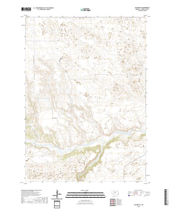
2021 Map of Kilgore SE
USGS Topo · Published 2021About this map
German Settlement Cem stands as a focal point for local genealogy in this corner of Cherry County, accessed via the eponymous German Settlement Rd. The landscape is defined by the significant hydrological intersection of the Niobrara River and the Snake River, which carve through the plains in the southern portion of the map. This area of Nebraska exhibits a classic pattern of plateau-like terrain, notably at Church Flat, which transitions into the drainage systems of the river valleys. The topography around Cox Canyon illustrates the erosion patterns typical of this watershed, providing a clear record of the region's physical geography as it appeared during this modern survey. Researchers can trace the survey lines of t34n r30w and neighboring townships to understand the historical land divisions and settlement patterns established long before this recent mapping.
Find a feature on this map
12 named features on this map. Tap any name to fly to it.
Don’t see what you’re looking for? This feature index may not catch every label — zoom into the map to look around manually.
Map Details
Editions of this 2021 Kilgore SE Map
This is the sole edition of this map. No revisions or reprints were ever made.
Other maps of this area

1950 · Simeon
USGS Topo · 1:62,500

1950 · Kennedy
USGS Topo · 1:62,500

1950 · Kilgore
USGS Topo · 1:62,500

1950 · Valentine
USGS Topo · 1:62,500

1957 · Valentine
USGS Topo · 1:250,000

1959 · Valentine
USGS Topo · 1:250,000
1983 · Crookston East
USGS Topo · 1:24,000

1983 · Valentine SW
USGS Topo · 1:24,000
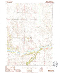
1985 · Kilgore SE
USGS Topo · 1:24,000

1985 · Cooper Canyon
USGS Topo · 1:24,000