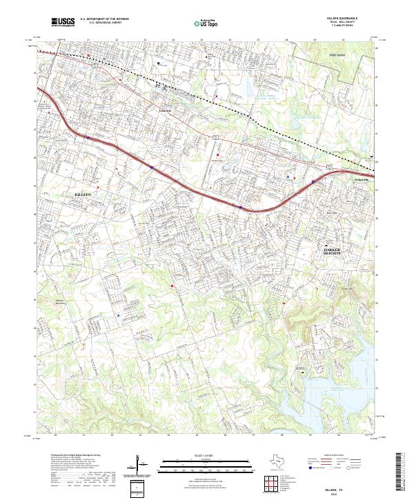
2022 Map of Killeen
USGS Topo · Published 2022About this map
Killeen and its eastern neighbors are centered along the primary corridors of W Central Texas Expy and W Veterans Memorial Blvd. This map documents a dense suburban landscape transitioning into the more varied topography of the Douglas Mountains and Cedar Gap. The southern portion of the sheet is defined by the winding course of Trimmier Creek and Little Trimmier Creek, which feed toward the northern reaches of Stillhouse Hollow Lake. Local history is anchored by several burial grounds, including the Killeen Cem and the more rural Herrington Family Cem situated near the Lampasas River. Aviation and infrastructure are prominent, with Skylark Field and the City of Killeen Reservoir marking the urban core, while the eastern edge highlights the growth of Harker Heights and Nolanville.
Find a feature on this map
56 named features on this map. Tap any name to fly to it.
Don’t see what you’re looking for? This feature index may not catch every label — zoom into the map to look around manually.
Map Details
Editions of this 2022 Killeen Map
This is the sole edition of this map. No revisions or reprints were ever made.
Other maps of this area

1893 · Georgetown
USGS Topo · 1:125,000

1894 · Gatesville
USGS Topo · 1:125,000

1924 · Gatesville 4-d
USGS Topo · 1:48,000

1924 · Gatesville 4-a
USGS Topo · 1:48,000

1930 · Killeen
USGS Topo · 1:62,500

1947 · Fort Hood
USGS Topo · 1:62,500

1947 · Bland
USGS Topo · 1:24,000

1947 · Fort Hood
USGS Topo · 1:24,000

1947 · Post Oak Mountain
USGS Topo · 1:24,000

1947 · Killeen
USGS Topo · 1:62,500