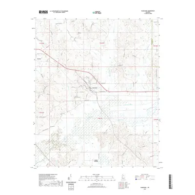
2024 Map of Kilmichael
USGS Topo · Published 2024About this map
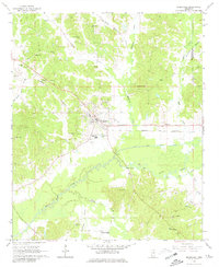
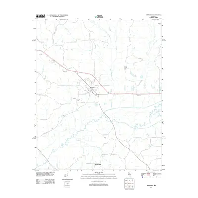
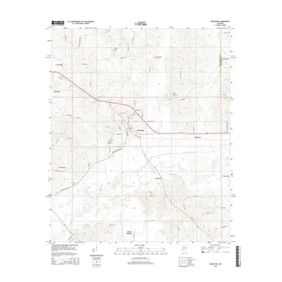
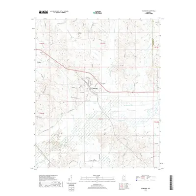
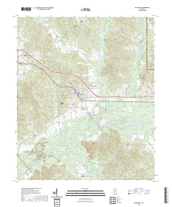
Kilmichael serves as the central hub of this Mississippi landscape, where local roads like Vaiden Kilmichael Rd and School Rd converge near the Big Black River. The terrain is defined by an extensive drainage system, notably the Big Black River Canal and the Old Channel Big Black River, reflecting significant historical modifications to the river's path to manage the bottomlands. To the south, the settlement of Poplar Springs sits near the headwaters of Poplar Creek, while the northwestern corner is marked by the community of Hendrix.
Find a feature on this map
91 named features on this map. Tap any name to fly to it.
Don’t see what you’re looking for? This feature index may not catch every label — zoom into the map to look around manually.
Map Details
Editions of this 2024 Kilmichael Map
This is the sole edition of this map. No revisions or reprints were ever made.
Historical Maps of Kilmichael Through Time
6 maps found