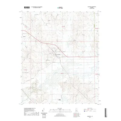
2020 Map of Kilmichael
USGS Topo · Published 2020About this map
Kilmichael serves as the central hub of this Montgomery County landscape, situated where local routes like S Depot Ave and S Rutherford Dr converge. The town's layout is defined by its proximity to the Big Black River, which undergoes a notable transition into the engineered Big Black River Canal to the east. This modification of the natural hydrology highlights the historical efforts to manage the river's floodplain for local agriculture and infrastructure stability.
Find a feature on this map
85 named features on this map. Tap any name to fly to it.
Don’t see what you’re looking for? This feature index may not catch every label — zoom into the map to look around manually.
Map Details
Editions of this 2020 Kilmichael Map
This is the sole edition of this map. No revisions or reprints were ever made.
Other maps of this area

1953 · Walthall
USGS Topo · 1:62,500

1953 · West Point
USGS Topo · 1:250,000

1954 · Duck Hill
USGS Topo · 1:62,500

1958 · West Point
USGS Topo · 1:250,000

1963 · West Point
USGS Topo · 1:250,000

1966 · Kilmichael
USGS Topo · 1:24,000

1966 · Poplar Creek
USGS Topo · 1:24,000

1966 · Winona
USGS Topo · 1:24,000

1966 · Stewart
USGS Topo · 1:24,000

1966 · French Camp
USGS Topo · 1:24,000