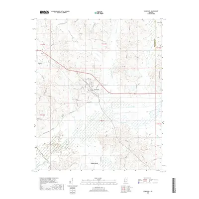
2018 Map of Kilmichael
USGS Topo · Published 2018About this map
Kilmichael serves as the central hub of this Mississippi landscape, situated at the junction of several primary local routes including Greensboro Rd and River Rd. The town's grid is detailed with residential streets such as B B King Dr, Binford Ave, and Money Ave, reflecting the community's local development and cultural touchstones. To the west, the smaller settlement of Hendrix sits near the E Fork Lewis Cr, while Poplar Springs occupies the southern portion of the sheet near Poplar Creek.
Find a feature on this map
78 named features on this map. Tap any name to fly to it.
Don’t see what you’re looking for? This feature index may not catch every label — zoom into the map to look around manually.
Map Details
Editions of this 2018 Kilmichael Map
This is the sole edition of this map. No revisions or reprints were ever made.
Other maps of this area

1953 · Walthall
USGS Topo · 1:62,500

1953 · West Point
USGS Topo · 1:250,000

1954 · Duck Hill
USGS Topo · 1:62,500

1958 · West Point
USGS Topo · 1:250,000

1963 · West Point
USGS Topo · 1:250,000

1966 · Kilmichael
USGS Topo · 1:24,000

1966 · Poplar Creek
USGS Topo · 1:24,000

1966 · Winona
USGS Topo · 1:24,000

1966 · Stewart
USGS Topo · 1:24,000

1966 · French Camp
USGS Topo · 1:24,000