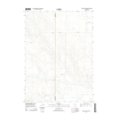
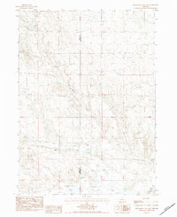
2014 Map of Kilpatrick Lake NW
USGS Topo · Published 2014About this map
N Br Snake Cr and S Br Snake Cr define the hydrological character of this Nebraska panhandle landscape, where the high plains of the Sioux Co and Box Butte Co border meet. The drainage patterns of Mud Springs Cr move through the southern portion of the area, creating a complex series of draws and depressions characteristic of this cattle-ranching country.
Find a feature on this map
13 named features on this map. Tap any name to fly to it.
Don’t see what you’re looking for? This feature index may not catch every label — zoom into the map to look around manually.
Map Details
Editions of this 2014 Kilpatrick Lake NW Map
This is the sole edition of this map. No revisions or reprints were ever made.
Other maps of this area

1899 · Whistle Creek
USGS Topo · 1:125,000

1951 · Marsland
USGS Topo · 1:62,500

1951 · Kilpatrick Lake
USGS Topo · 1:62,500

1955 · Alliance
USGS Topo · 1:250,000

1957 · Alliance
USGS Topo · 1:250,000

1958 · Alliance
USGS Topo · 1:250,000
1983 · Marsland SE
USGS Topo · 1:24,000
1983 · University Lake SE
USGS Topo · 1:24,000
1983 · Kilpatrick Lake
USGS Topo · 1:24,000
1983 · Kilpatrick Lake NW
USGS Topo · 1:24,000