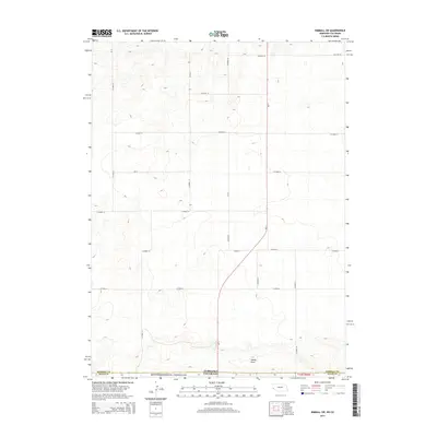
2014 Map of Kimball SW
USGS Topo · Published 2014About this map
Pawnee National Grassland defines the southern portion of this high plains landscape, where the border of Colorado and Nebraska meets along a vast, open stretch of the Weld County panhandle. The topography is marked by subtle shifts in elevation and the winding course of Sidney Draw in the southeast corner. A strictly rectilinear grid of section lines and county roads, such as CO Road 18 and CO Road 14, organizes the land for dryland farming and ranching. The most significant modern artery is Ne-71, which cuts diagonally across the southern half of the map before turning north toward the Nebraska interior. This 2014 survey documents a classic prairie borderland, showing the intersection of Kimball County and Weld County where traditional agricultural surveying meets federal conservation lands.
Find a feature on this map
21 named features on this map. Tap any name to fly to it.
Don’t see what you’re looking for? This feature index may not catch every label — zoom into the map to look around manually.
Map Details
Editions of this 2014 Kimball SW Map
This is the sole edition of this map. No revisions or reprints were ever made.
Other maps of this area

1954 · Sterling
USGS Topo · 1:250,000

1954 · Scottsbluff
USGS Topo · 1:250,000

1958 · Scottsbluff
USGS Topo · 1:250,000

1958 · Sterling
USGS Topo · 1:250,000

1972 · Owasco
USGS Topo · 1:24,000

1972 · Kimball SE
USGS Topo · 1:24,000

1972 · Kimball SW
USGS Topo · 1:24,000

1972 · Kimball
USGS Topo · 1:24,000

1972 · Bushnell SE
USGS Topo · 1:24,000

1972 · Oliver Reservoir
USGS Topo · 1:24,000