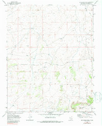
1970 Map of Kin Nahzin Ruins
USGS Topo · Published 1987About this map
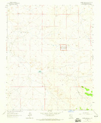
The Continental Divide winds through the southern reaches of this high-desert landscape in McKinley County, defining the drainage patterns of the surrounding high plains. In this 1970 snapshot, the local economy and infrastructure are clearly centered on water and subsurface exploration. A network of individual water sources and industrial markers, such as the Electric Well, Hubbel Well, and Hogan Well, suggests a reliance on groundwater for both livestock and small-scale operations. Evidence of resource extraction or exploration is visible in the presence of a Drill Hole and the Pumpjack Well further north. Near the southern edge, the small landmark of Midwest sits along the dividing ridge, while Fajada Wash carves through the northern terrain, illustrating the sparse but vital water system of this New Mexico quadrangle.
Find a feature on this map
10 named features on this map. Tap any name to fly to it.
Don’t see what you’re looking for? This feature index may not catch every label — zoom into the map to look around manually.
Map Details
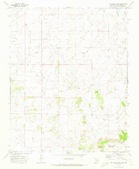
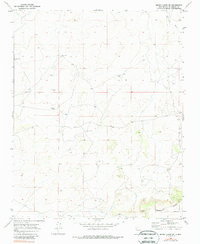
Editions of this 1970 Kin Nahzin Ruins Map
3 editions found
Other maps of this area

1883 · Mt. Taylor
USGS Topo · 1:250,000

1886 · Mt. Taylor
USGS Topo · 1:250,000

1892 · Mt. Taylor
USGS Topo · 1:250,000

1899 · Mt. Taylor
USGS Topo · 1:250,000

1958 · Albuquerque
USGS Topo · 1:250,000

1961 · Whitehorse
USGS Topo · 1:24,000

1961 · Hospah
USGS Topo · 1:24,000
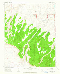
1961 · Pueblo Pintado
USGS Topo · 1:24,000

1962 · Albuquerque
USGS Topo · 1:250,000
1963 · Laguna Castillo
USGS Topo · 1:24,000