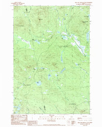
1989 Map of Kind and Bartlett Mtn.
USGS Topo · Published 1989About this map
King and Bartlett Mountain and Spotted Spruce Mtn anchor this Maine wilderness landscape, where the Somerset and Franklin county lines meet within a complex network of timberlands and high-elevation waters. The map reveals a backcountry infrastructure of remote camps and resource management, notably at Kibby Kamp and the small settlement at Jim Pond. Water is the defining characteristic of this terrain, ranging from larger bodies like King and Bartlett Lake to the uniquely named Joe Pokum Pond and the extensive Joe Pokum Bog.
Find a feature on this map
47 named features on this map. Tap any name to fly to it.
Don’t see what you’re looking for? This feature index may not catch every label — zoom into the map to look around manually.
Map Details
Editions of this 1989 Kind and Bartlett Mtn. Map
2 editions found
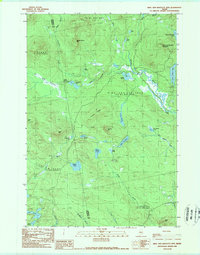
Other maps of this area

1928 · Chain Lakes
USGS Topo · 1:48,000

1928 · Spencer
USGS Topo · 1:48,000

1928 · Stratton
USGS Topo · 1:48,000

1932 · Stratton
USGS Topo · 1:62,500

1932 · Kennebago Lake
USGS Topo · 1:48,000

1932 · Spencer
USGS Topo · 1:62,500

1932 · Chain Lakes
USGS Topo · 1:62,500

1935 · Kennebago Lake
USGS Topo · 1:62,500

1935 · Chain Lakes
USGS Topo · 1:62,500

1936 · Kennebago Lake
USGS Topo · 1:62,500
Featured Places
- Flagstaff Township, ME
- Haynestown Township, ME
- Kibby Township, ME
- Jim Pond Township, ME
- King & Bartlett Township, ME