
1903 Map of Kinderhook
USGS Topo · Published 1903About this map
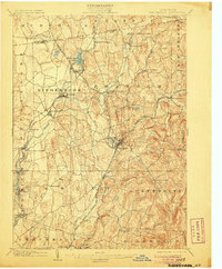
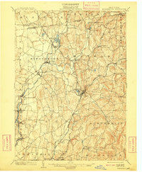
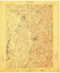
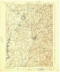
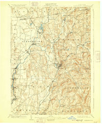
Kinderhook Creek serves as the industrial and geographic spine of this Columbia County landscape, powering a succession of riverside settlements at the dawn of the twentieth century. From the concentrated milling works at Stuyvesant Falls to the falls at Chittenden Falls and Rossman, the water's descent toward the Hudson drove the local economy. The map captures a complex transport network where the Boston and Albany R. R. and the Harlem Div. intersect with earlier carriage routes and the Albany and Hudson Electric line. In the eastern uplands, smaller hamlets like Old Chatham and Spencertown retain a more agrarian character, while the presence of White Mills near Chatham illustrates the persistence of localized manufacturing. Notable water bodies such as Kinderhook Lake and Sutherland Pond dot the terrain, marking the varied geography of the Chatham and Kinderhook townships.
Find a feature on this map
56 named features on this map. Tap any name to fly to it.
Don’t see what you’re looking for? This feature index may not catch every label — zoom into the map to look around manually.
Map Details
Editions of this 1903 Kinderhook Map
6 editions found
Other maps of this area

1885 · Sheffield
USGS Topo · 1:62,500

1888 · Sheffield
USGS Topo · 1:62,500

1888 · Berlin
USGS Topo · 1:62,500

1888 · Pittsfield
USGS Topo · 1:62,500

1890 · Pittsfield
USGS Topo · 1:62,500

1890 · Berlin
USGS Topo · 1:62,500

1891 · Sheffield
USGS Topo · 1:62,500

1893 · Troy
USGS Topo · 1:62,500

1893 · Coxsackie
USGS Topo · 1:62,500

1893 · Sheffield
USGS Topo · 1:62,500