
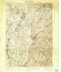
1933 Map of Kinderhook
USGS Topo · Published 1933About this map
Martin Van Buren Homestead and the historical Albany Post Road anchor this early 1930s landscape in Columbia County. The region is defined by a dense network of hamlets and rural schoolhouses, such as the Ichabod Crane Sch and Riders Mills Sch, which served the farming and mill communities along the winding Kinderhook Creek. Industrial and transit hubs like Chatham, where the Boston and Albany RR, Rutland RR, and New York Central RR converged, illustrate the area's importance as a transportation corridor between Albany and the Massachusetts border.
Find a feature on this map
87 named features on this map. Tap any name to fly to it.
Don’t see what you’re looking for? This feature index may not catch every label — zoom into the map to look around manually.
Map Details
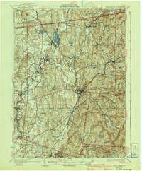
Editions of this 1933 Kinderhook Map
3 editions found
Other maps of this area

1885 · Sheffield
USGS Topo · 1:62,500

1888 · Sheffield
USGS Topo · 1:62,500

1888 · Berlin
USGS Topo · 1:62,500

1888 · Pittsfield
USGS Topo · 1:62,500

1890 · Pittsfield
USGS Topo · 1:62,500

1890 · Berlin
USGS Topo · 1:62,500

1891 · Sheffield
USGS Topo · 1:62,500

1893 · Troy
USGS Topo · 1:62,500

1893 · Coxsackie
USGS Topo · 1:62,500

1893 · Sheffield
USGS Topo · 1:62,500