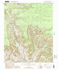
1988 Map of King Arthur Castle
USGS Topo · Published 1988About this map
King Arthur Castle and the surrounding high-altitude plateaus dominate this 1980s topograhic study of the Arizona backcountry. The landscape is defined by its extreme verticality, where the Powell Plateau and Rainbow Plateau give way to deep chasms such as Merlin Abyss and Modred Abyss. The naming convention of the era is on full display here, with mythological and Arthurian titles bestowed upon prominent landforms like the Holy Grail Temple, Masonic Temple, and Elaine Castle.
Find a feature on this map
50 named features on this map. Tap any name to fly to it.
Don’t see what you’re looking for? This feature index may not catch every label — zoom into the map to look around manually.
Map Details
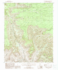
Editions of this 1988 King Arthur Castle Map
2 editions found
Other maps of this area

1886 · Kaibab
USGS Topo · 1:250,000

1903 · Bright Angel
USGS Topo · 1:48,000

1906 · Bright Angel
USGS Topo · 1:48,000

1953 · Grand Canyon
USGS Topo · 1:250,000

1957 · Grand Canyon
USGS Topo · 1:250,000

1958 · Grand Canyon
USGS Topo · 1:250,000

1960 · Grand Canyon
USGS Topo · 1:250,000

1962 · Bright Angel
USGS Topo · 1:48,000

1962 · De Motte Park
USGS Topo · 1:62,500

1962 · Havasupai Point
USGS Topo · 1:62,500