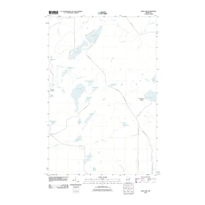
2010 Map of King Lake
USGS Topo · Published 2010About this map
Pequaywan Lookout Tower stands as a primary landmark in this densely lake-strewn pocket of Saint Louis County, Minnesota. The landscape is defined by an intricate network of water bodies, from larger basins like King Lake and Stone Lake to the smaller Kookoosh Lake and Pigeon Lake. This area represents the headwaters and drainage systems for the West Branch Knife River and Knife River, which are fed by several winding creeks including Coyote Creek and Pine Creek.
Find a feature on this map
40 named features on this map. Tap any name to fly to it.
Don’t see what you’re looking for? This feature index may not catch every label — zoom into the map to look around manually.
Map Details
Editions of this 2010 King Lake Map
This is the sole edition of this map. No revisions or reprints were ever made.
Other maps of this area

1953 · Whyte
USGS Topo · 1:62,500

1954 · Barrs Lake
USGS Topo · 1:24,000

1954 · Mc Carthy Creek
USGS Topo · 1:24,000

1954 · Two Harbors
USGS Topo · 1:250,000

1956 · Pequaywan Lake
USGS Topo · 1:24,000

1956 · King Lake
USGS Topo · 1:24,000

1957 · Two Harbors
USGS Topo · 1:250,000

1957 · Two Harbors
USGS Topo · 1:62,500

1957 · Two Harbors
USGS Topo · 1:24,000

1957 · Brimson
USGS Topo · 1:62,500