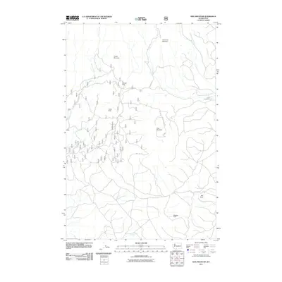
2011 Map of King Mountain
USGS Topo · Published 2011About this map
King Mountain and its surrounding peaks dominate this high-elevation landscape, where the drainage systems of Gotchen Creek and Bird Creek carve through the terrain. The map details a complex network of forest and Bureau of Indian Affairs routes, including Bia RD 285 and NFD 190 RD, which provide access to this timbered backcountry. This region is characterized by its volcanic landforms, featuring a series of named summits such as Snipes Mountain, Snowplow Mountain, and a cluster of buttes including Bunnell Butte and Smith Butte.
Find a feature on this map
16 named features on this map. Tap any name to fly to it.
Don’t see what you’re looking for? This feature index may not catch every label — zoom into the map to look around manually.
Map Details
Editions of this 2011 King Mountain Map
This is the sole edition of this map. No revisions or reprints were ever made.
Other maps of this area

1904 · Mount Adams
USGS Topo · 1:125,000

1907 · Mount Adams
USGS Topo · 1:125,000

1926 · Steamboat Mtn
USGS Topo · 1:125,000

1926 · Hood River
USGS Topo · 1:125,000

1929 · Hood River
USGS Topo · 1:125,000

1931 · Steamboat Mtn
USGS Topo · 1:125,000

1934 · The Dalles
USGS Topo · 1:125,000

1950 · Yakima
USGS Topo · 1:250,000

1953 · The Dalles
USGS Topo · 1:250,000

1956 · The Dalles
USGS Topo · 1:250,000