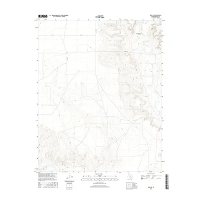
2016 Map of King SE
USGS Topo · Published 2016About this map
Rita Blanca Cr winds through the canyons and draws of this portion of Hartley County, defining the drainage patterns of the High Plains landscape. The map reveals the intricate network of erosional features like Cottonwood Draw that break the flat surface of the Panhandle. Local travel and access are dictated by a grid of rural routes, including Bradshaw and Co Rd N, which service the remote ranchlands. Along the southern boundary, the waters of Punta de Agua Cr flow through the breaks, illustrating the intersection of essential water sources and the semi-arid cattle country of the Texas Panhandle.
Find a feature on this map
7 named features on this map. Tap any name to fly to it.
Don’t see what you’re looking for? This feature index may not catch every label — zoom into the map to look around manually.
Map Details
Editions of this 2016 King SE Map
This is the sole edition of this map. No revisions or reprints were ever made.
Other maps of this area

1954 · Tucumcari
USGS Topo · 1:250,000

1958 · Tucumcari
USGS Topo · 1:250,000

1971 · Proctor Ranch
USGS Topo · 1:24,000

1971 · Channing NW
USGS Topo · 1:24,000

1971 · Pedarosa Camp
USGS Topo · 1:24,000

1972 · Hartley SW
USGS Topo · 1:24,000

1973 · Pardue Camp
USGS Topo · 1:24,000

1973 · King SW
USGS Topo · 1:24,000

1973 · Hartley
USGS Topo · 1:24,000

1973 · King
USGS Topo · 1:24,000