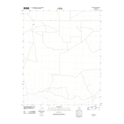
2010 Map of King SW
USGS Topo · Published 2010About this map
Punta de Agua Creek meanders through the southern portion of this landscape, its drainage system cutting through the plains of Hartley County. The area is characterized by a sparse network of ranch roads, including Co Rd N, which provides the primary East-West transit across the northern terrain. Agricultural infrastructure is anchored by McMordie Pens, a localized marker reflecting the cattle-ranching heritage of the Texas Panhandle. This map illustrates a segment of the region where the topography is defined more by its watercourses and livestock operations than by dense settlement, offering a focused look at the spatial arrangement of high-plains ranching at the start of the decade.
Find a feature on this map
3 named features on this map. Tap any name to fly to it.
Don’t see what you’re looking for? This feature index may not catch every label — zoom into the map to look around manually.
Map Details
Editions of this 2010 King SW Map
This is the sole edition of this map. No revisions or reprints were ever made.
Other maps of this area

1954 · Tucumcari
USGS Topo · 1:250,000

1958 · Tucumcari
USGS Topo · 1:250,000

1971 · Middle Water
USGS Topo · 1:24,000

1971 · Syndicate Hills
USGS Topo · 1:24,000

1971 · Proctor Ranch
USGS Topo · 1:24,000

1971 · Spring Creek Ranch
USGS Topo · 1:24,000

1971 · Pedarosa Camp
USGS Topo · 1:24,000

1973 · Pardue Camp
USGS Topo · 1:24,000

1973 · King SW
USGS Topo · 1:24,000

1973 · King
USGS Topo · 1:24,000