
1971 Map of Spring Creek Ranch
USGS Topo · Published 1973About this map
Spring Creek Ranch and Houghton Ranch anchor this landscape of the Texas Panhandle, where the geography is defined by a critical network of water sources. The map reveals the ranching infrastructure necessary for survival in Hartley County, marked by numerous named water stations including the South Center Windmill, Hanbury Windmill, and Little Nelson Windmill. These features indicate a reliance on groundwater to support livestock across the undulating terrain. Surface water is represented by the West Fork Romero Creek and the drainage of Buck Arroyo, while the presence of Prospects and a Gravel Pit suggests early interest in the area's geological resources. The placement of Buttermilk Tank further emphasizes the importance of managed water points in this semi-arid environment during the early 1970s.
Find a feature on this map
18 named features on this map. Tap any name to fly to it.
Don’t see what you’re looking for? This feature index may not catch every label — zoom into the map to look around manually.
Map Details
Editions of this 1971 Spring Creek Ranch Map
This is the sole edition of this map. No revisions or reprints were ever made.
Other maps of this area

1954 · Tucumcari
USGS Topo · 1:250,000

1958 · Tucumcari
USGS Topo · 1:250,000

1971 · Middle Water
USGS Topo · 1:24,000

1971 · Romero SE
USGS Topo · 1:24,000

1971 · Whiteaker Ranch
USGS Topo · 1:24,000

1971 · Knoblaw
USGS Topo · 1:24,000
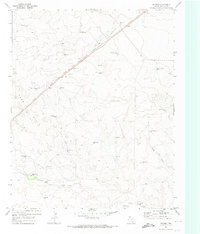
1971 · Romero
USGS Topo · 1:24,000
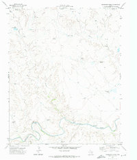
1971 · Humdinger Spring
USGS Topo · 1:24,000

1971 · Pedarosa Camp
USGS Topo · 1:24,000

1973 · King SW
USGS Topo · 1:24,000