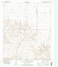
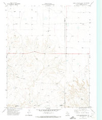
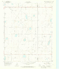
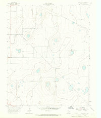
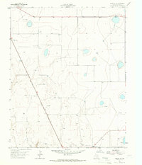
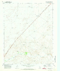
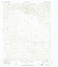
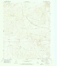
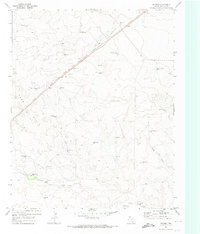
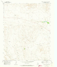
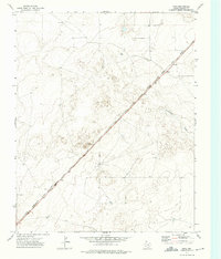
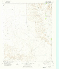
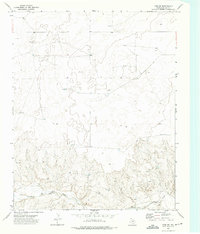
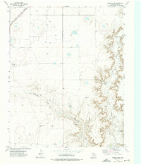
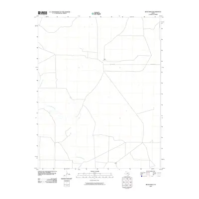
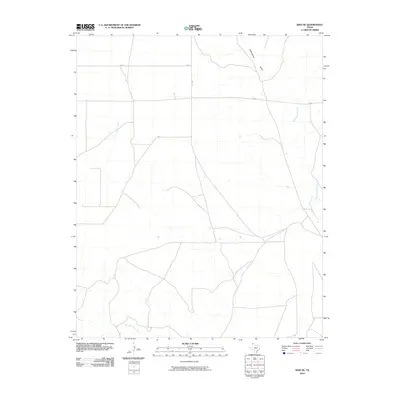
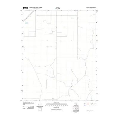
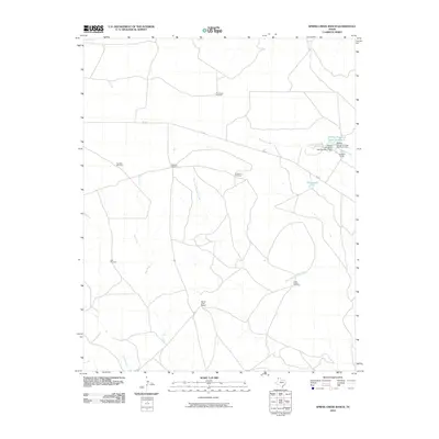
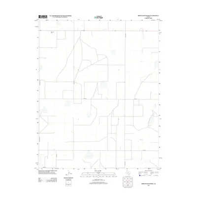
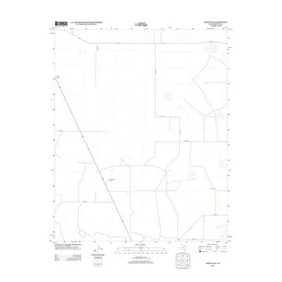
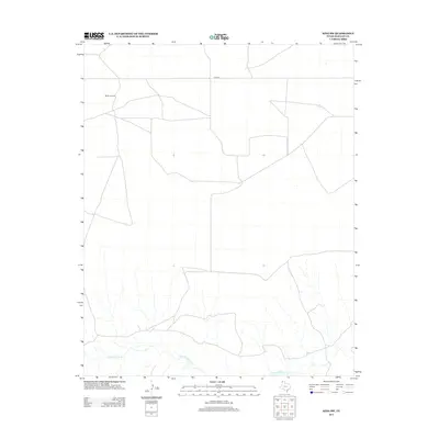
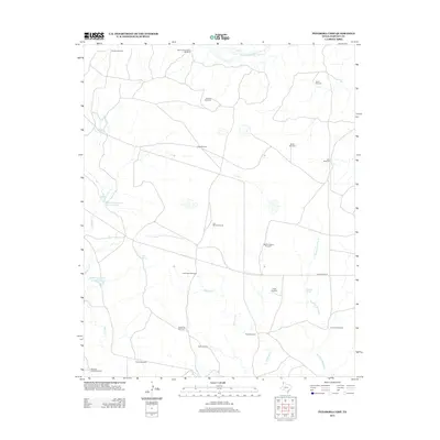
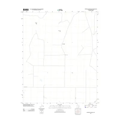
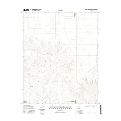
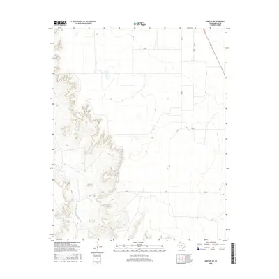
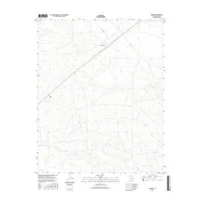
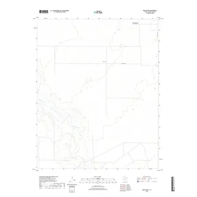
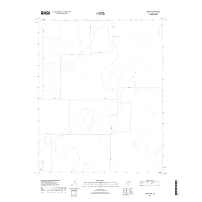
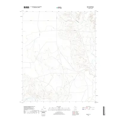
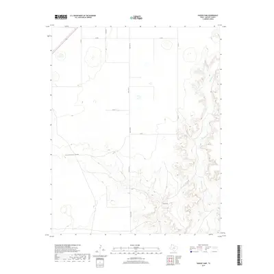
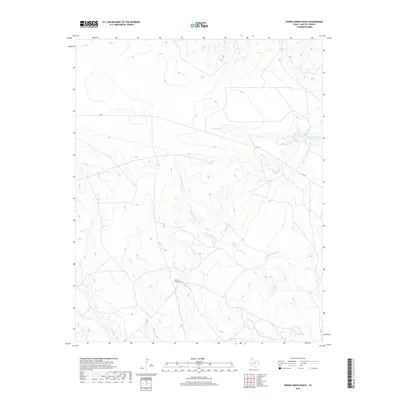
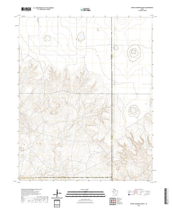
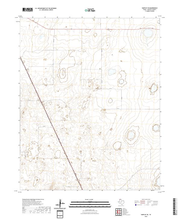
1971 Map of Bivins Channing Ranch
USGS Topo · Published 1974About this map
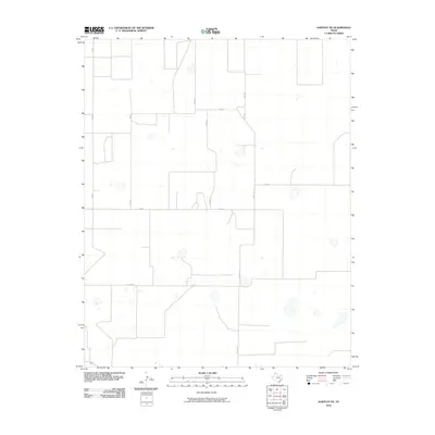
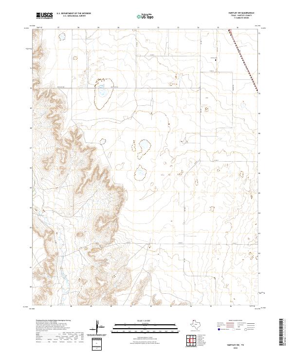
Bivins Channing Ranch and the nearby Bivins Channing Farm anchor this 1971 study of the Panhandle landscape where Hartley, Moore, and Oldham counties converge. The terrain is defined by the incision of East Cheyenne Creek and Rica Creek into the high plains, creating a complex drainage system that contrasts with the flat, elevated ranchlands.
Find a feature on this map
16 named features on this map. Tap any name to fly to it.
Don’t see what you’re looking for? This feature index may not catch every label — zoom into the map to look around manually.
Map Details
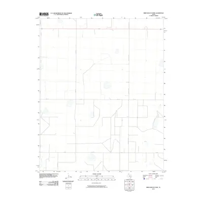
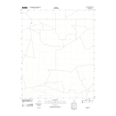
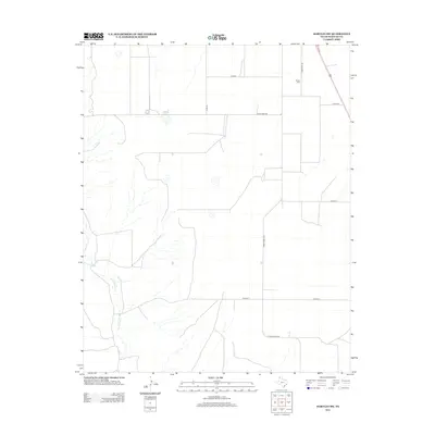
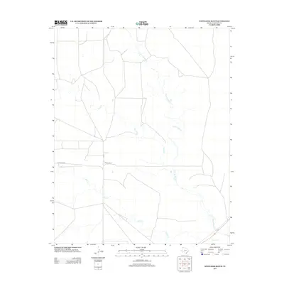
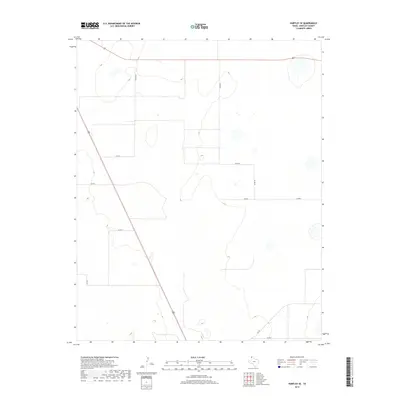
Editions of this 1971 Bivins Channing Ranch Map
2 editions found
Historical Maps of Moore County Through Time
114 maps found
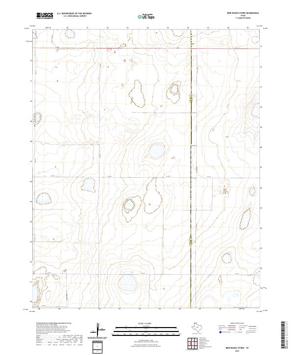
1963 Bird Ranch Store
Hartley County, TX
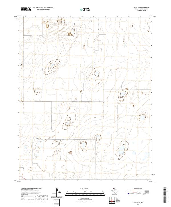
1963 Hartley NE
Hartley County, TX
1963 Hartley SE
Hartley County, TX
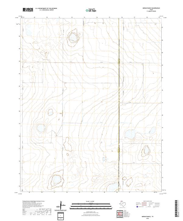
1963 Moran Ranch
Hartley County, TX
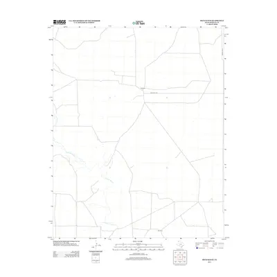
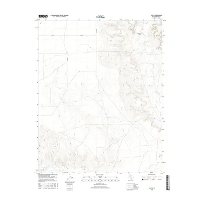
1971 Beck Ranch
Hartley County, TX
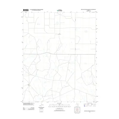
1971 Bivins Channing Ranch
Hartley County, TX
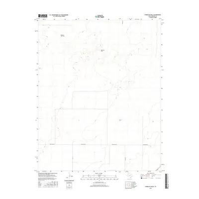
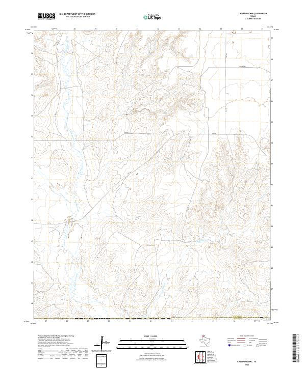
1971 Channing NW
Hartley County, TX
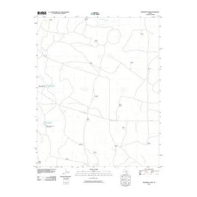
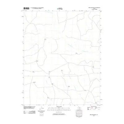
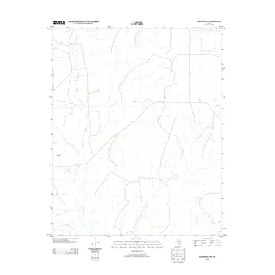
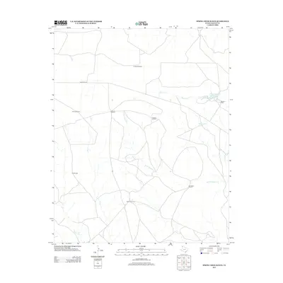
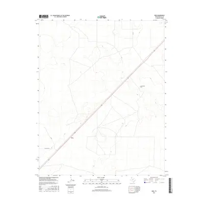
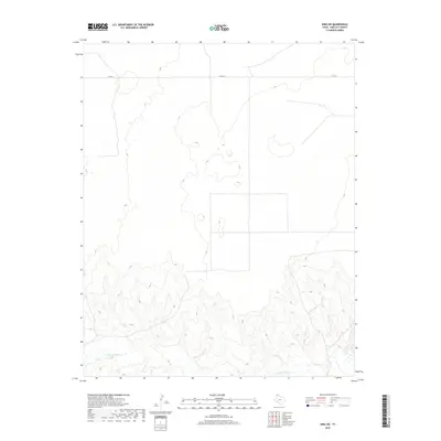
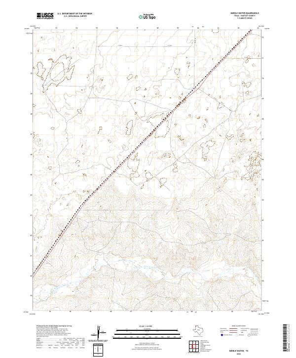
1971 Middle Water
Hartley County, TX
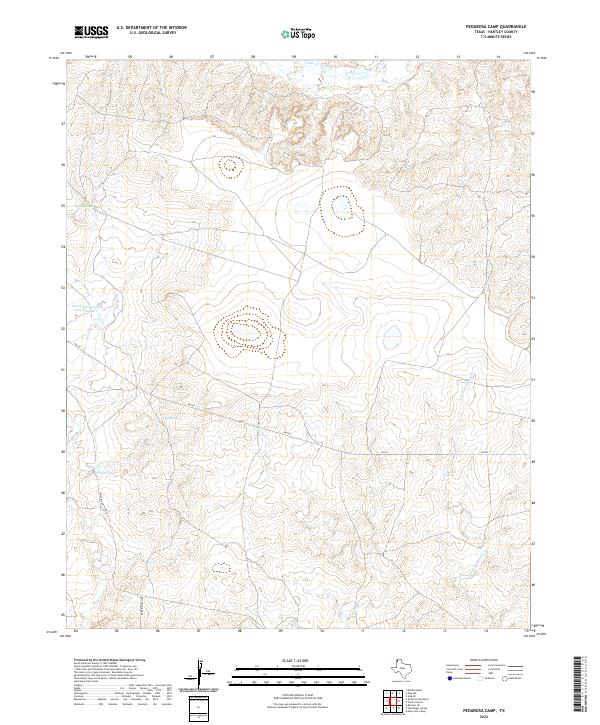
1971 Pedarosa Camp
Hartley County, TX
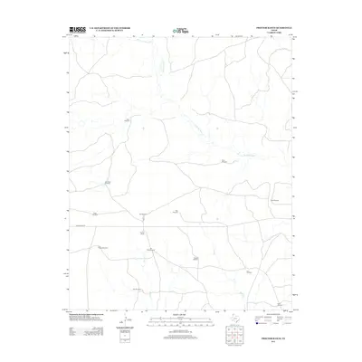
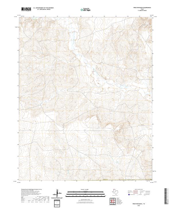
1971 Proctor Ranch
Hartley County, TX
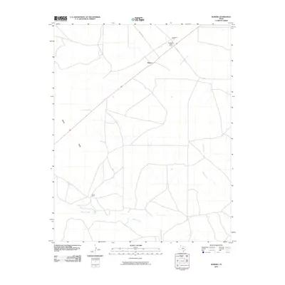
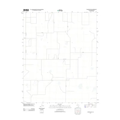
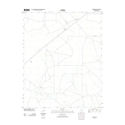
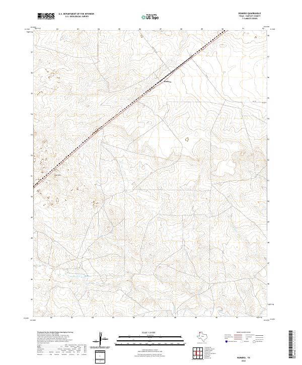
1971 Romero
Hartley County, TX
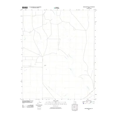
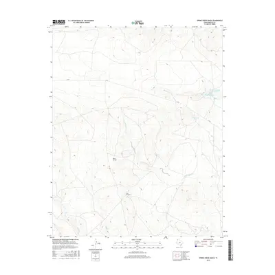
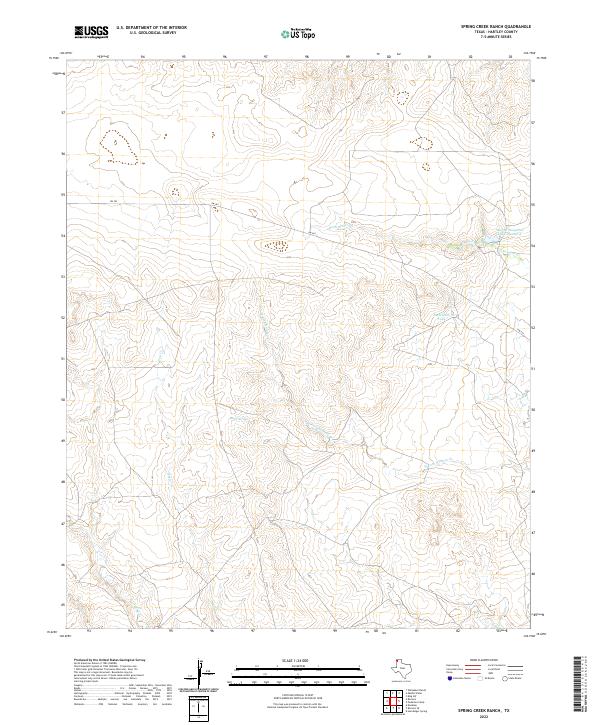
1971 Spring Creek Ranch
Hartley County, TX
1971 Syndicate Hills
Hartley County, TX
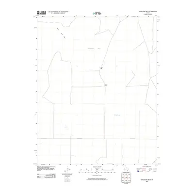
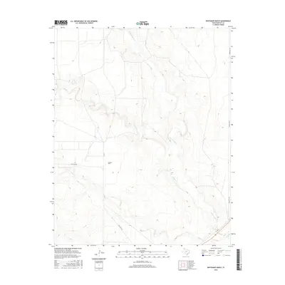
1971 Whiteaker Ranch
Hartley County, TX
1972 Hartley SW
Hartley County, TX
1973 King
Hartley County, TX
1973 King SE
Hartley County, TX
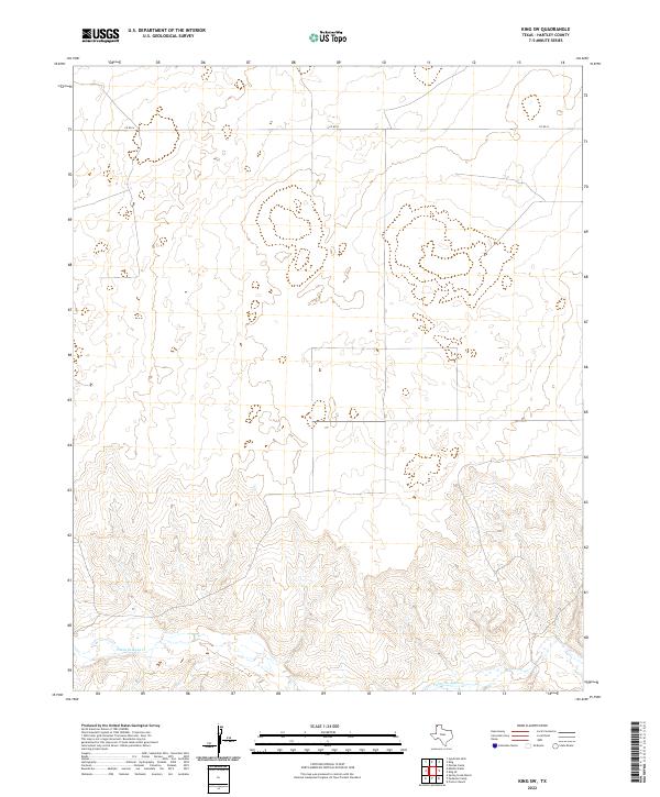
1973 King SW
Hartley County, TX
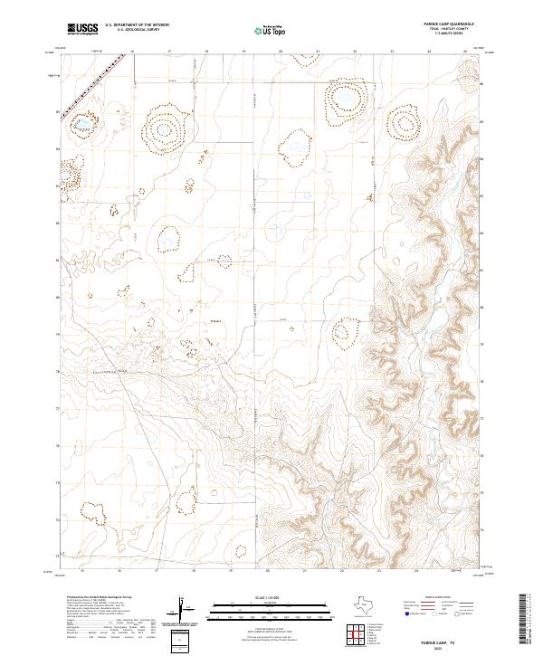
1973 Pardue Camp
Hartley County, TX
2010 Beck Ranch
Hartley County, TX
2010 Bird Ranch Store
Hartley County, TX
2010 Bivins Channing Ranch
Hartley County, TX
2010 Channing NW
Hartley County, TX
2010 Hartley NE
Hartley County, TX
2010 Hartley SE
Hartley County, TX
2010 Hartley SW
Hartley County, TX
2010 King
Hartley County, TX
2010 King SE
Hartley County, TX
2010 King SW
Hartley County, TX
2010 Middle Water
Hartley County, TX
2010 Moran Ranch
Hartley County, TX
2010 Pardue Camp
Hartley County, TX
2010 Pedarosa Camp
Hartley County, TX
2010 Proctor Ranch
Hartley County, TX
2010 Romero
Hartley County, TX
2010 Spring Creek Ranch
Hartley County, TX
2010 Syndicate Hills
Hartley County, TX
2010 Whiteaker Ranch
Hartley County, TX
2012 Beck Ranch
Hartley County, TX
2012 Bird Ranch Store
Hartley County, TX
2012 Bivins Channing Ranch
Hartley County, TX
2012 Channing NW
Hartley County, TX
2012 Hartley NE
Hartley County, TX
2012 Hartley SE
Hartley County, TX
2012 Hartley SW
Hartley County, TX
2012 King
Hartley County, TX
2012 King SE
Hartley County, TX
2012 King SW
Hartley County, TX
2012 Middle Water
Hartley County, TX
2012 Moran Ranch
Hartley County, TX
2012 Pardue Camp
Hartley County, TX
2012 Pedarosa Camp
Hartley County, TX
2012 Proctor Ranch
Hartley County, TX
2012 Romero
Hartley County, TX
2012 Spring Creek Ranch
Hartley County, TX
2012 Syndicate Hills
Hartley County, TX
2012 Whiteaker Ranch
Hartley County, TX
2016 Beck Ranch
Hartley County, TX
2016 Bird Ranch Store
Hartley County, TX
2016 Bivins Channing Ranch
Hartley County, TX
2016 Channing NW
Hartley County, TX
2016 Hartley NE
Hartley County, TX
2016 Hartley SE
Hartley County, TX
2016 Hartley SW
Hartley County, TX
2016 King
Hartley County, TX
2016 King SE
Hartley County, TX
2016 King SW
Hartley County, TX
2016 Middle Water
Hartley County, TX

2016 Moran Ranch
Hartley County, TX
2016 Pardue Camp
Hartley County, TX
2016 Pedarosa Camp
Hartley County, TX
2016 Proctor Ranch
Hartley County, TX
2016 Romero
Hartley County, TX
2016 Spring Creek Ranch
Hartley County, TX
2016 Syndicate Hills
Hartley County, TX
2016 Whiteaker Ranch
Hartley County, TX
2019 Beck Ranch
Hartley County, TX
2019 Bird Ranch Store
Hartley County, TX
2019 Bivins Channing Ranch
Hartley County, TX
2019 Channing NW
Hartley County, TX
2019 Hartley NE
Hartley County, TX
2019 Hartley SE
Hartley County, TX
2019 Hartley SW
Hartley County, TX
2019 King
Hartley County, TX
2019 King SE
Hartley County, TX
2019 King SW
Hartley County, TX
2019 Middle Water
Hartley County, TX
2019 Moran Ranch
Hartley County, TX
2019 Pardue Camp
Hartley County, TX
2019 Pedarosa Camp
Hartley County, TX
2019 Proctor Ranch
Hartley County, TX
2019 Romero
Hartley County, TX
2019 Spring Creek Ranch
Hartley County, TX
2019 Syndicate Hills
Hartley County, TX
2019 Whiteaker Ranch
Hartley County, TX
2022 Beck Ranch
Hartley County, TX
2022 Bird Ranch Store
Hartley County, TX
2022 Bivins Channing Ranch
Hartley County, TX
2022 Channing NW
Hartley County, TX
2022 Hartley NE
Hartley County, TX
2022 Hartley SE
Hartley County, TX
2022 Hartley SW
Hartley County, TX
2022 King
Hartley County, TX
2022 King SE
Hartley County, TX
2022 King SW
Hartley County, TX
2022 Middle Water
Hartley County, TX
2022 Moran Ranch
Hartley County, TX
2022 Pardue Camp
Hartley County, TX
2022 Pedarosa Camp
Hartley County, TX
2022 Proctor Ranch
Hartley County, TX
2022 Romero
Hartley County, TX
2022 Spring Creek Ranch
Hartley County, TX
2022 Syndicate Hills
Hartley County, TX
2022 Whiteaker Ranch
Hartley County, TX