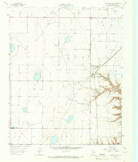
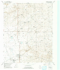
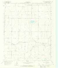
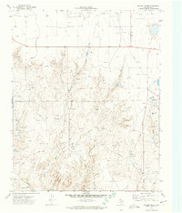
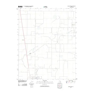
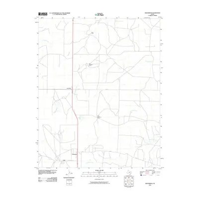
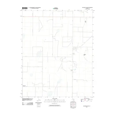
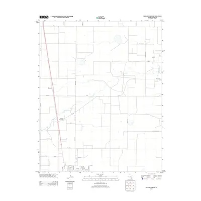
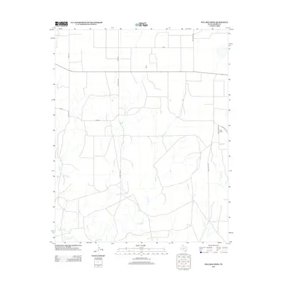
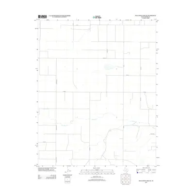
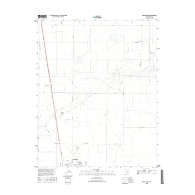
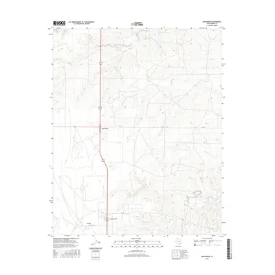
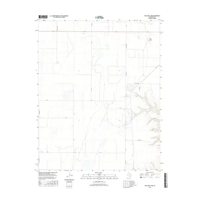
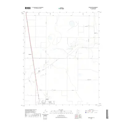
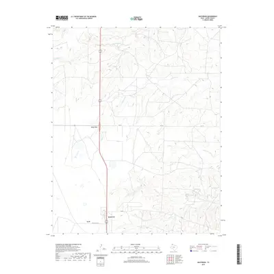
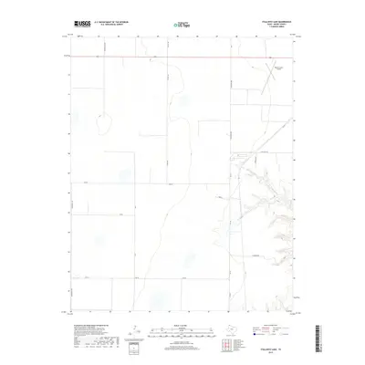
1963 Map of Stallwitz Lake
USGS Topo · Published 1966About this map
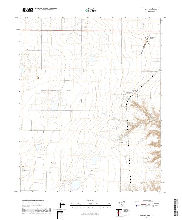
Stallwitz Lake and the surrounding high plains of Moore County are defined by a mid-century industrial landscape of petroleum extraction and transit. The map documents an extensive Oil and Gas Field crisscrossed by pipelines, service roads, and supporting infrastructure like the Gas Plant and Pumping Sta. This development is concentrated north of the breaks of North Blue Creek, where the terrain drops away into complex drainage patterns contrasting with the level plateau above. Transport and logistics are anchored by the Atchison Topeka and Santa Fe railroad corridor, which runs alongside the small settlement of Middlewell. Beyond the industrial activity, the presence of Dumas Airport and a Roadside Park suggests the area's role as a regional hub for both local aviation and travelers traversing the Texas Panhandle.
Find a feature on this map
12 named features on this map. Tap any name to fly to it.
Don’t see what you’re looking for? This feature index may not catch every label — zoom into the map to look around manually.
Map Details
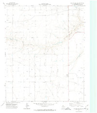
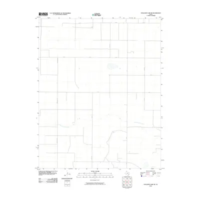
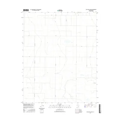
Editions of this 1963 Stallwitz Lake Map
This is the sole edition of this map. No revisions or reprints were ever made.
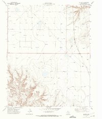
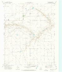
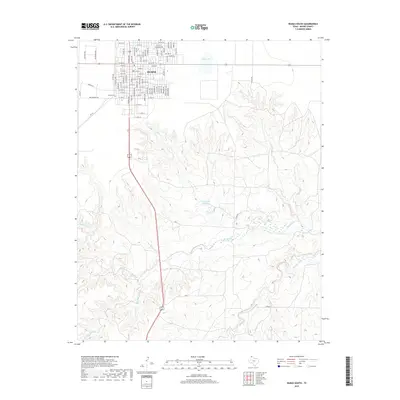
Historical Maps of Middlewell Through Time
74 maps found
1923 Sierra Madera
Moore County, TX
1936 Fourways
Moore County, TX
1953 Evans Canyon
Moore County, TX
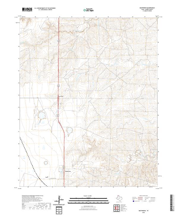
1953 Masterson
Moore County, TX
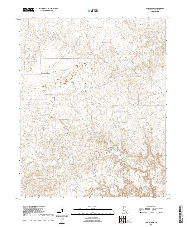
1953 Spencer Draw
Moore County, TX
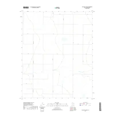
1963 Stallwitz Lake
Moore County, TX
1965 Dumas North
Moore County, TX
1965 Dumas South
Moore County, TX
1965 Stallwitz Lake NE
Moore County, TX
1971 Bautista
Moore County, TX
1972 Dumas NE
Moore County, TX
1972 Little Blue Creek
Moore County, TX
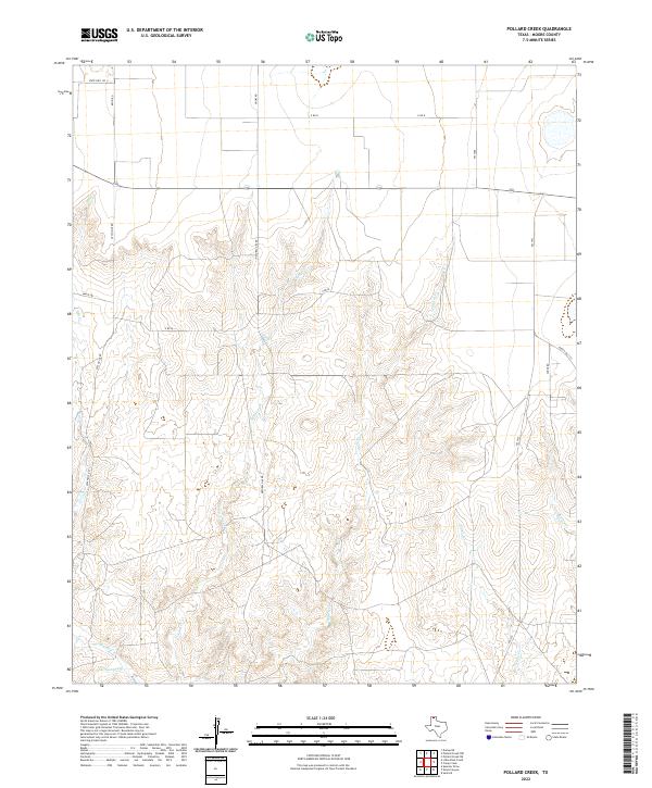
1972 Pollard Creek
Moore County, TX
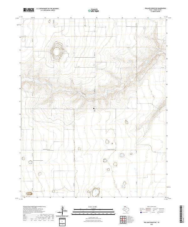
1972 Pollard Creek NW
Moore County, TX
2010 Bautista
Moore County, TX
2010 Dumas NE
Moore County, TX
2010 Dumas North
Moore County, TX
2010 Dumas South
Moore County, TX
2010 Evans Canyon
Moore County, TX
2010 Little Blue Creek
Moore County, TX
2010 Masterson
Moore County, TX
2010 Pollard Creek
Moore County, TX
2010 Pollard Creek NW
Moore County, TX
2010 Spencer Draw
Moore County, TX
2010 Stallwitz Lake
Moore County, TX
2010 Stallwitz Lake NE
Moore County, TX
2012 Bautista
Moore County, TX
2012 Dumas NE
Moore County, TX
2012 Dumas North
Moore County, TX
2012 Evans Canyon
Moore County, TX
2012 Little Blue Creek
Moore County, TX
2012 Masterson
Moore County, TX
2012 Pollard Creek
Moore County, TX
2012 Pollard Creek NW
Moore County, TX
2012 Spencer Draw
Moore County, TX
2012 Stallwitz Lake
Moore County, TX
2012 Stallwitz Lake NE
Moore County, TX
2013 Dumas South
Moore County, TX
2016 Bautista
Moore County, TX
2016 Dumas NE
Moore County, TX
2016 Dumas North
Moore County, TX
2016 Dumas South
Moore County, TX
2016 Evans Canyon
Moore County, TX
2016 Little Blue Creek
Moore County, TX
2016 Masterson
Moore County, TX
2016 Pollard Creek
Moore County, TX
2016 Pollard Creek NW
Moore County, TX
2016 Spencer Draw
Moore County, TX
2016 Stallwitz Lake
Moore County, TX
2016 Stallwitz Lake NE
Moore County, TX
2019 Bautista
Moore County, TX
2019 Dumas NE
Moore County, TX
2019 Dumas North
Moore County, TX
2019 Dumas South
Moore County, TX
2019 Evans Canyon
Moore County, TX
2019 Little Blue Creek
Moore County, TX
2019 Masterson
Moore County, TX
2019 Pollard Creek
Moore County, TX
2019 Pollard Creek NW
Moore County, TX
2019 Spencer Draw
Moore County, TX
2019 Stallwitz Lake
Moore County, TX
2019 Stallwitz Lake NE
Moore County, TX
2022 Bautista
Moore County, TX
2022 Dumas NE
Moore County, TX
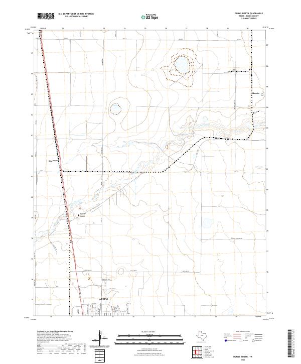
2022 Dumas North
Moore County, TX
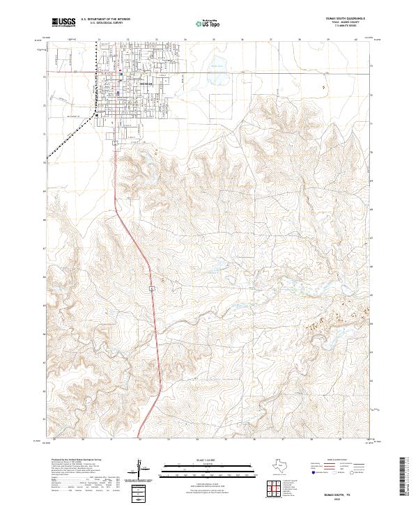
2022 Dumas South
Moore County, TX
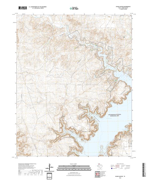
2022 Evans Canyon
Moore County, TX
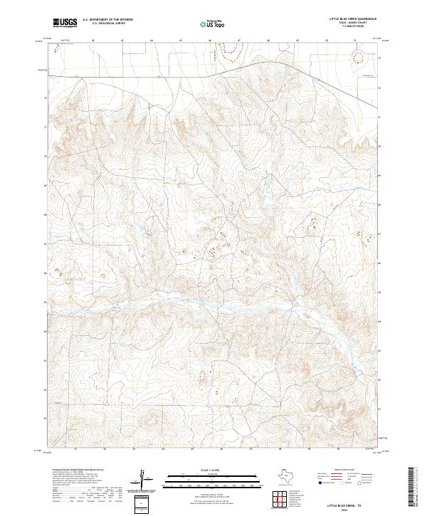
2022 Little Blue Creek
Moore County, TX
2022 Masterson
Moore County, TX
2022 Pollard Creek
Moore County, TX
2022 Pollard Creek NW
Moore County, TX
2022 Spencer Draw
Moore County, TX
2022 Stallwitz Lake
Moore County, TX
2022 Stallwitz Lake NE
Moore County, TX