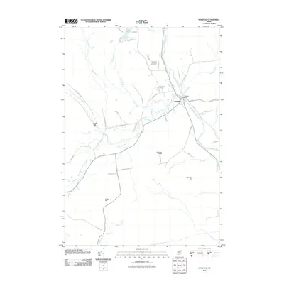
2011 Map of Kingfield
USGS Topo · Published 2011About this map
Kingfield serves as the primary hub of this landscape, situated at the confluence of the Carrabassett River and Stanley Stream. The town's industrial and riverine character is defined by the Kingfield Dam and the network of residential streets like Maple St and Cedar St that radiate from the riverbanks. To the west, the settlement at Soule Mill along the West Branch Carrabassett River highlights the historical reliance on water power in this timber-rich region.
Find a feature on this map
51 named features on this map. Tap any name to fly to it.
Don’t see what you’re looking for? This feature index may not catch every label — zoom into the map to look around manually.
Map Details
Editions of this 2011 Kingfield Map
This is the sole edition of this map. No revisions or reprints were ever made.
Other maps of this area

1928 · Dead River
USGS Topo · 1:62,500

1928 · Stratton
USGS Topo · 1:48,000

1929 · Phillips
USGS Topo · 1:48,000

1930 · Kingfield
USGS Topo · 1:48,000

1931 · Dead River
USGS Topo · 1:48,000

1932 · Phillips
USGS Topo · 1:62,500

1932 · Stratton
USGS Topo · 1:62,500

1932 · Kingfield
USGS Topo · 1:62,500

1944 · Dead River
USGS Topo · 1:62,500

1949 · Jackman
USGS Topo · 1:250,000