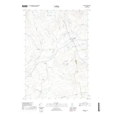
2018 Map of Kingfield
USGS Topo · Published 2018About this map
The Carrabassett River and its various branches, including the West Branch Carrabassett River, dominate this landscape where the borders of Somerset County and Franklin County meet. The village of Kingfield serves as a central hub, situated near the confluence of several mountain streams. Evidence of the area's industrial and agricultural past is found at Soule Mill and Prattwood Pasture, while the topography rises significantly toward peaks like Vose Mtn and Freeman Ridge. For those researching local families, the map is a dense record of burial sites, including Riverside Cem, Sunnyside Cem, and several outlying grounds such as North Freeman Cem and Starbird Corner Cem. The network of backroads like Tufts Pond Rd and Rapid Stream Rd provides a detailed look at the reach of these upland settlements and their connection to the high ponds and ridges.
Find a feature on this map
67 named features on this map. Tap any name to fly to it.
Don’t see what you’re looking for? This feature index may not catch every label — zoom into the map to look around manually.
Map Details
Editions of this 2018 Kingfield Map
This is the sole edition of this map. No revisions or reprints were ever made.
Other maps of this area

1928 · Dead River
USGS Topo · 1:62,500

1928 · Stratton
USGS Topo · 1:48,000

1929 · Phillips
USGS Topo · 1:48,000

1930 · Kingfield
USGS Topo · 1:48,000

1931 · Dead River
USGS Topo · 1:48,000

1932 · Phillips
USGS Topo · 1:62,500

1932 · Stratton
USGS Topo · 1:62,500

1932 · Kingfield
USGS Topo · 1:62,500

1944 · Dead River
USGS Topo · 1:62,500

1949 · Jackman
USGS Topo · 1:250,000