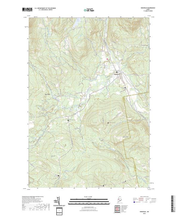
2024 Map of Kingfield
USGS Topo · Published 2024About this map
Kingfield sits at the confluence of the Carrabassett River and Alder Stream, serving as a central hub in a landscape defined by sharp elevation changes and narrow river valleys. This 2024 map documents the modern footprint of the town, showing the concentration of civic life around Main St and the historic Riverside Cem. West of the town center, the terrain rises toward Freeman Ridge and Foster Hill, where older land-use patterns remain visible through established roads like Salem Rd and isolated landmarks such as Soule Mill.
Find a feature on this map
61 named features on this map. Tap any name to fly to it.
Don’t see what you’re looking for? This feature index may not catch every label — zoom into the map to look around manually.
Map Details
Editions of this 2024 Kingfield Map
This is the sole edition of this map. No revisions or reprints were ever made.
Other maps of this area

1928 · Dead River
USGS Topo · 1:62,500

1928 · Stratton
USGS Topo · 1:48,000

1929 · Phillips
USGS Topo · 1:48,000

1930 · Kingfield
USGS Topo · 1:48,000

1931 · Dead River
USGS Topo · 1:48,000

1932 · Phillips
USGS Topo · 1:62,500

1932 · Stratton
USGS Topo · 1:62,500

1932 · Kingfield
USGS Topo · 1:62,500

1944 · Dead River
USGS Topo · 1:62,500

1949 · Jackman
USGS Topo · 1:250,000