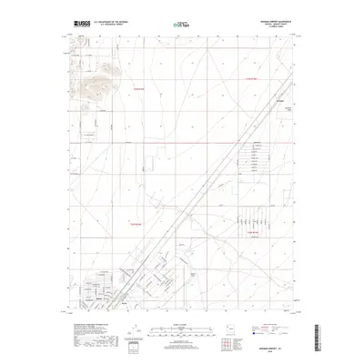
2018 Map of Kingman Airport
USGS Topo · Published 2018About this map
Kingman Airport serves as a central hub for this portion of the Hualapai Valley, where the transition from desert expanse to modern infrastructure is clearly defined. The area shows significant development south of the airfield, where a grid of industrial and residential streets like Industrial Blvd and N McVicar Ave push toward the settlements of Butler and Berry. In contrast, the northeastern quadrant remains largely open, marked only by the community of Walapai and a series of livestock-related water features such as Fence Line Tank and Field Tank. This 2018 survey reveals a landscape of ranching roots meeting contemporary logistical growth, evidenced by the prominent Transmission Line and a naming convention that ranges from the utilitarian Grounds Ranch Rd to the more exotic Calcuta Rd and Kashmir RD.
Find a feature on this map
68 named features on this map. Tap any name to fly to it.
Don’t see what you’re looking for? This feature index may not catch every label — zoom into the map to look around manually.
Map Details
Editions of this 2018 Kingman Airport Map
This is the sole edition of this map. No revisions or reprints were ever made.
Other maps of this area

1886 · Diamond Creek
USGS Topo · 1:250,000

1886 · Camp Mohave
USGS Topo · 1:250,000

1892 · Diamond Creek
USGS Topo · 1:250,000

1892 · Camp Mohave
USGS Topo · 1:250,000

1939 · Chloride
USGS Topo · 1:48,000

1942 · Camp Mohave
USGS Topo · 1:250,000

1944 · Chloride
USGS Topo · 1:62,500

1947 · Kingman
USGS Topo · 1:250,000

1948 · Kingman
USGS Topo · 1:250,000

1948 · Williams
USGS Topo · 1:250,000