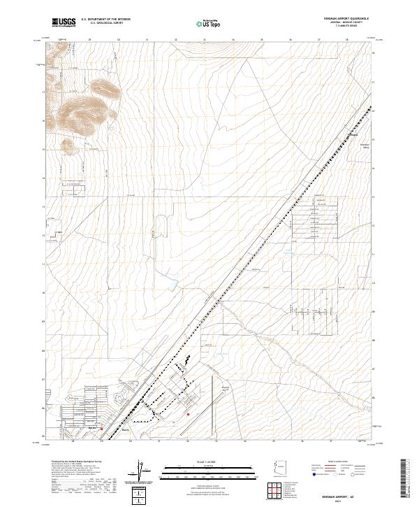
2021 Map of Kingman Airport
USGS Topo · Published 2021About this map
Kingman Airport serves as a central anchor for this high-desert landscape in Mohave County, where the sprawling residential street grids of Butler and Berry meet the wide expanse of the Hualapai Valley. The map shows a transition from structured urban planning in the southwest to the open ranching and utility lands of the northeast, marked by isolated features like Fence Line Tank and Field Tank. The detailed road network reflects a mixture of established routes and developing residential corridors, such as Carrow Rd and Pate Rd. Settlement patterns near the historic rail corridor are evident at Walapai, while the surrounding sections under the t22n r16w and t23n r16w townships highlight the systematic division of land typical of the American West. The presence of specialized industrial and logistics routes like Industrial Blvd and Shipping Ln underscores the regional importance of the airport complex.
Find a feature on this map
74 named features on this map. Tap any name to fly to it.
Don’t see what you’re looking for? This feature index may not catch every label — zoom into the map to look around manually.
Map Details
Editions of this 2021 Kingman Airport Map
This is the sole edition of this map. No revisions or reprints were ever made.
Other maps of this area

1886 · Diamond Creek
USGS Topo · 1:250,000

1886 · Camp Mohave
USGS Topo · 1:250,000

1892 · Diamond Creek
USGS Topo · 1:250,000

1892 · Camp Mohave
USGS Topo · 1:250,000

1939 · Chloride
USGS Topo · 1:48,000

1942 · Camp Mohave
USGS Topo · 1:250,000

1944 · Chloride
USGS Topo · 1:62,500

1947 · Kingman
USGS Topo · 1:250,000

1948 · Kingman
USGS Topo · 1:250,000

1948 · Williams
USGS Topo · 1:250,000