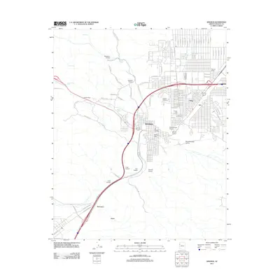
2011 Map of Kingman
USGS Topo · Published 2011About this map
Kingman serves as the focal point of this Mohave County desert landscape, where modern infrastructure intersects with historic natural landmarks. The map documents a town deeply shaped by its corridors of travel, from the iconic W Old Highway 66 to the major rail-associated terrain of Railroad Pass. This survey illustrates the expansion of the community into suburban developments like Hilltop and industrial or transportation nodes such as Getz and the Kingman Airfield.
Find a feature on this map
104 named features on this map. Tap any name to fly to it.
Don’t see what you’re looking for? This feature index may not catch every label — zoom into the map to look around manually.
Map Details
Editions of this 2011 Kingman Map
This is the sole edition of this map. No revisions or reprints were ever made.
Other maps of this area

1886 · Diamond Creek
USGS Topo · 1:250,000

1886 · Camp Mohave
USGS Topo · 1:250,000

1892 · Diamond Creek
USGS Topo · 1:250,000

1892 · Camp Mohave
USGS Topo · 1:250,000

1939 · Chloride
USGS Topo · 1:48,000

1942 · Camp Mohave
USGS Topo · 1:250,000

1944 · Chloride
USGS Topo · 1:62,500

1947 · Kingman
USGS Topo · 1:250,000

1948 · Kingman
USGS Topo · 1:250,000

1948 · Williams
USGS Topo · 1:250,000