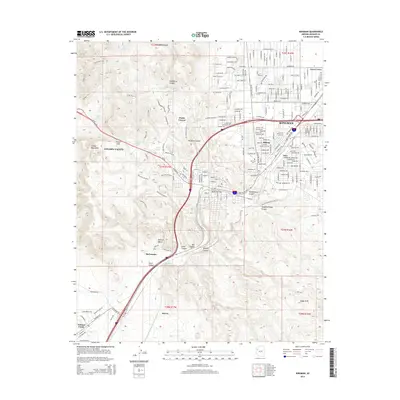
2014 Map of Kingman
USGS Topo · Published 2014About this map
Kingman serves as the focal point of this Mojave County landscape, where the modern street grid of the high desert city meets the complex topography of the Cerbat Mountains. The map reveals the intricate relationship between early transit routes and natural geography, centered on the strategic Railroad Pass. This corridor, which accommodates Az-66 and Us-93, has long been a gateway through the desert. Notable historical touchstones include the well-known Beale Spring, a critical water source for early travelers, and the Mtn View Cem on the edge of the city. To the west, the sprawling development of Golden Valley contrasts with the unusual rock formations of Monolith Gardens. The map also captures several outlying communities and neighborhoods such as Hilltop, Getz, and the uniquely named Lazy Y U, reflecting the area's growth patterns at the start of the 21st century.
Find a feature on this map
56 named features on this map. Tap any name to fly to it.
Don’t see what you’re looking for? This feature index may not catch every label — zoom into the map to look around manually.
Map Details
Editions of this 2014 Kingman Map
This is the sole edition of this map. No revisions or reprints were ever made.
Other maps of this area

1886 · Diamond Creek
USGS Topo · 1:250,000

1886 · Camp Mohave
USGS Topo · 1:250,000

1892 · Diamond Creek
USGS Topo · 1:250,000

1892 · Camp Mohave
USGS Topo · 1:250,000

1939 · Chloride
USGS Topo · 1:48,000

1942 · Camp Mohave
USGS Topo · 1:250,000

1944 · Chloride
USGS Topo · 1:62,500

1947 · Kingman
USGS Topo · 1:250,000

1948 · Kingman
USGS Topo · 1:250,000

1948 · Williams
USGS Topo · 1:250,000