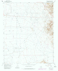
1967 Map of Kingman NW
USGS Topo · Published 1983About this map
The wide desert expanse of the Sacramento Valley dominates this landscape, defined by a complex network of seasonal drainages including Cerbat Wash, Thirteenmile Wash, and Sacramento Wash. Human activity in this arid portion of Mohave County is centered on water management and regional infrastructure, marked by essential water sources like Newguard Well and Jones Deep Well, alongside a Pumping Station.
Find a feature on this map
16 named features on this map. Tap any name to fly to it.
Don’t see what you’re looking for? This feature index may not catch every label — zoom into the map to look around manually.
Map Details
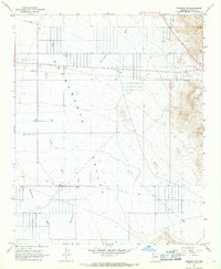
Editions of this 1967 Kingman NW Map
2 editions found
Other maps of this area

1886 · Camp Mohave
USGS Topo · 1:250,000

1892 · Camp Mohave
USGS Topo · 1:250,000

1939 · Chloride
USGS Topo · 1:48,000

1942 · Camp Mohave
USGS Topo · 1:250,000

1944 · Chloride
USGS Topo · 1:62,500

1947 · Kingman
USGS Topo · 1:250,000

1948 · Kingman
USGS Topo · 1:250,000

1954 · Kingman
USGS Topo · 1:250,000

1955 · Kingman
USGS Topo · 1:250,000

1958 · Kingman
USGS Topo · 1:250,000