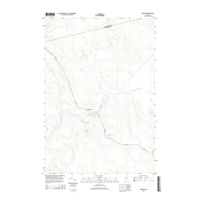
2014 Map of Kingman
USGS Topo · Published 2014About this map
Kingman sits at a low-lying confluence in the northern Maine woods, where the Mattawamkeag River meets the Molunkus Stream. This 2014 survey captures a landscape defined by an intricate network of waterways, including Mattagodus Stream and Crossuntic Stream, which drain into the river valley. The settlement pattern is concentrated along a few key corridors, notably Kingman Rd and Me-170, branching out toward more isolated features like Mud Pond.
Find a feature on this map
21 named features on this map. Tap any name to fly to it.
Don’t see what you’re looking for? This feature index may not catch every label — zoom into the map to look around manually.
Map Details
Editions of this 2014 Kingman Map
This is the sole edition of this map. No revisions or reprints were ever made.
Other maps of this area

1920 · Winn
USGS Topo · 1:62,500

1931 · Springfield
USGS Topo · 1:48,000

1934 · Springfield
USGS Topo · 1:62,500

1940 · Mattawamkeag
USGS Topo · 1:62,500

1941 · Wytopitlock
USGS Topo · 1:62,500

1942 · Mattawamkeag
USGS Topo · 1:62,500

1943 · Wytopitlock
USGS Topo · 1:62,500

1954 · Millinocket
USGS Topo · 1:250,000

1958 · Millinocket
USGS Topo · 1:250,000

1960 · Millinocket
USGS Topo · 1:250,000