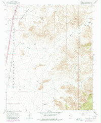
1967 Map of Kingman SE
USGS Topo · Published 1980About this map
The Sacramento Valley floor meets the rising western slopes of the Hualapai Mountains in this desert landscape east of the Colorado River. The Atchison Topeka and Santa Fe railroad serves as the primary artery through the valley, paralleled by a corridor of development near the settlement of Griffith. Water sources are the critical defining element for human activity here, evidenced by numerous Water Tanks, Dry Wells, and named springs such as Boulder Spring and Lookout Spring. The mountainous terrain is etched with drainage systems like Black Rock Canyon and Shingle Wash. Resource extraction is noted at the Holy Moses Mine, while a network of jeep trails and pipelines indicates the ongoing utility and exploration of this arid region during the late 1960s and 1970s.
Find a feature on this map
26 named features on this map. Tap any name to fly to it.
Don’t see what you’re looking for? This feature index may not catch every label — zoom into the map to look around manually.
Map Details
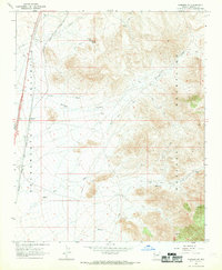
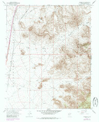
Editions of this 1967 Kingman SE Map
3 editions found
Other maps of this area

1886 · Diamond Creek
USGS Topo · 1:250,000

1886 · Camp Mohave
USGS Topo · 1:250,000

1892 · Diamond Creek
USGS Topo · 1:250,000

1892 · Camp Mohave
USGS Topo · 1:250,000

1923 · Signal
USGS Topo · 1:250,000

1927 · Yucca
USGS Topo · 1:62,500

1929 · Yucca
USGS Topo · 1:62,500

1942 · Camp Mohave
USGS Topo · 1:250,000

1942 · Signal
USGS Topo · 1:250,000

1947 · Kingman
USGS Topo · 1:250,000