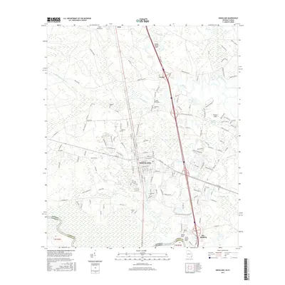
2017 Map of Kingsland
USGS Topo · Published 2017About this map
The city of Kingsland serves as the focal point of this 2017 survey, showcasing the modern layout of this Camden County hub near the Florida border. The landscape is defined by the winding waters of the Saint Marys River, which marks the state line, and the intricate drainage of Crooked River and its various tributaries like Little Catfish Creek and May Branch. The transition from established residential blocks to the wetlands of Shingle Swamp and Caney Swamp illustrates the coastal geography of the Georgia lowcountry.
Find a feature on this map
148 named features on this map. Tap any name to fly to it.
Don’t see what you’re looking for? This feature index may not catch every label — zoom into the map to look around manually.
Map Details
Editions of this 2017 Kingsland Map
This is the sole edition of this map. No revisions or reprints were ever made.
Other maps of this area
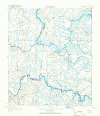
1917 · Boulogne
USGS Topo · 1:62,500
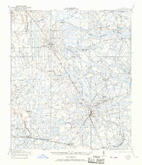
1917 · Hilliard
USGS Topo · 1:62,500
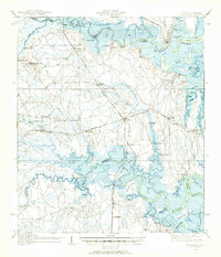
1918 · St Marys
USGS Topo · 1:62,500
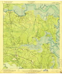
1918 · Kingsland
USGS Topo · 1:62,500
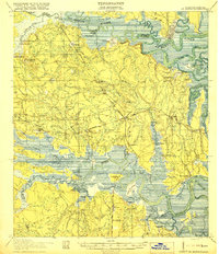
1919 · St Marys
USGS Topo · 1:62,500
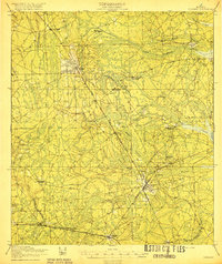
1919 · Hilliard
USGS Topo · 1:62,500
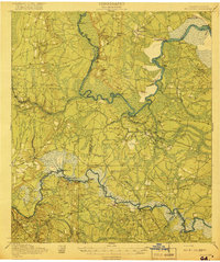
1919 · Boulogne
USGS Topo · 1:62,500

1948 · Jacksonville
USGS Topo · 1:250,000
1957 · Jacksonville
USGS Topo · 1:250,000
1958 · Gross
USGS Topo · 1:24,000