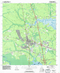
2024 Map of Kingsland
USGS Topo · Published 2024About this map
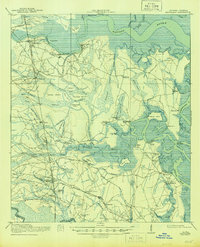
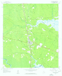
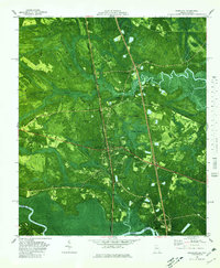
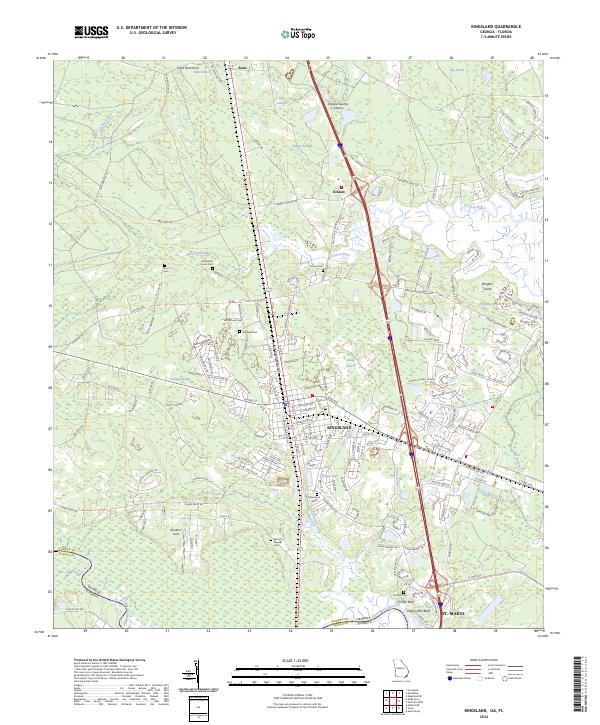
Kingsland serves as the central hub of this coastal Georgia landscape, situated just north of the Georgia-Florida border. The terrain is defined by a complex network of wetlands and tidal waters, including Seals Swamp, Caney Swamp, and the expansive Shingle Swamp. These ecosystems surround the more elevated hammocks and islands, such as Floyd Hammock and Wrights Island. The Saint Marys River carves the southern boundary, while the Crooked River and its various forks and branches, including Catfish Creek, dominate the northern and central sections.
Find a feature on this map
154 named features on this map. Tap any name to fly to it.
Don’t see what you’re looking for? This feature index may not catch every label — zoom into the map to look around manually.
Map Details
Editions of this 2024 Kingsland Map
This is the sole edition of this map. No revisions or reprints were ever made.
Historical Maps of Palmetto Pines Mobile Home Park Through Time
5 maps found