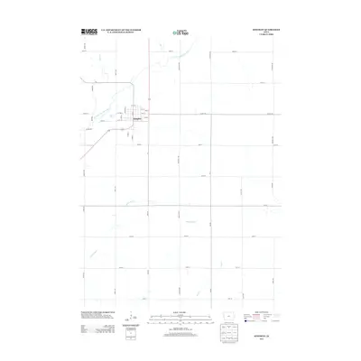
2013 Map of Kingsley
USGS Topo · Published 2013About this map
Kingsley serves as the central hub of this Plymouth County landscape, where the town's street grid is neatly organized around Main St and Tilden St. The settlement is positioned just south of a significant bend in the W Fork Little Sioux River, a watercourse that defines the drainage patterns for the surrounding agricultural terrain. The landscape is further dissected by a network of smaller tributaries, including Johns Cr and Deer Cr to the north, and the meandering McElhaney Cr and Wolf Cr to the south. This 2013 survey illustrates the enduring intersection of rural section-line roads and concentrated town development, with routes like Co Hwy-C66 providing vital regional connections through the rolling Iowa countryside.
Find a feature on this map
46 named features on this map. Tap any name to fly to it.
Don’t see what you’re looking for? This feature index may not catch every label — zoom into the map to look around manually.
Map Details
Editions of this 2013 Kingsley Map
This is the sole edition of this map. No revisions or reprints were ever made.
Other maps of this area

1954 · Fort Dodge
USGS Topo · 1:250,000

1955 · Sioux City
USGS Topo · 1:250,000

1957 · Fort Dodge
USGS Topo · 1:250,000

1958 · Sioux City
USGS Topo · 1:250,000

1958 · Fort Dodge
USGS Topo · 1:250,000

1959 · Sioux City
USGS Topo · 1:250,000

1962 · Union Center
USGS Topo · 1:62,500

1964 · Moville
USGS Topo · 1:24,000

1969 · Pierson
USGS Topo · 1:24,000

1969 · Correctionville NW
USGS Topo · 1:24,000