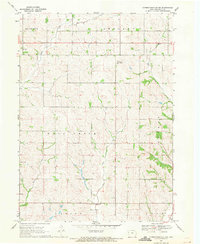
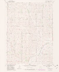
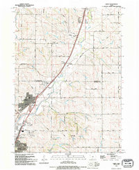
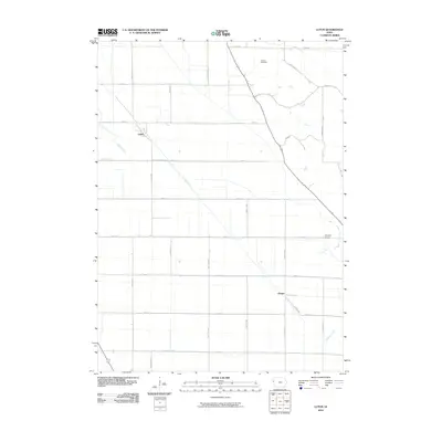
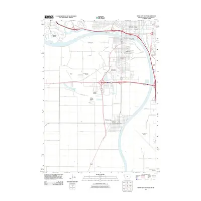
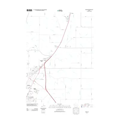
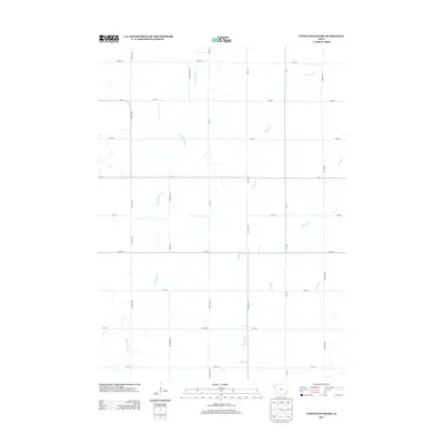
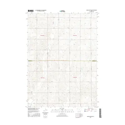
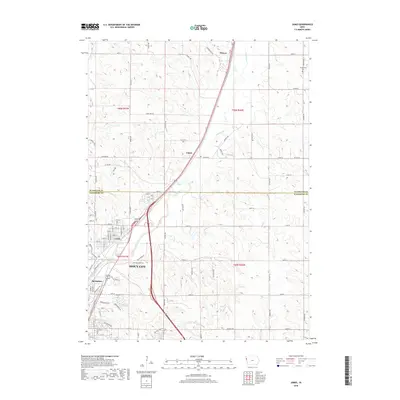
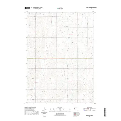
1969 Map of Correctionville NW
USGS Topo · Published 1971About this map
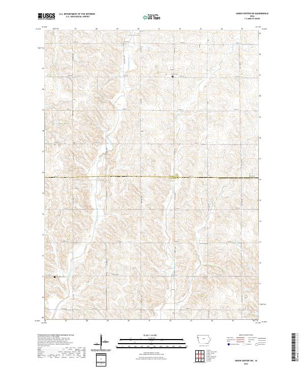
Wolf Creek and its tributary, East Fork Wolf Creek, carve a defined drainage pattern across this Woodbury County landscape. The map reveals a rural Iowa community organized around the townships of Wolf Creek, Kedron, Rutland, and Grant. Local spiritual and communal life is anchored by landmarks such as Rock Branch Ch and several burial grounds, including Fairfield Cem and Lucky Valley Cem.
Find a feature on this map
21 named features on this map. Tap any name to fly to it.
Don’t see what you’re looking for? This feature index may not catch every label — zoom into the map to look around manually.
Map Details
Editions of this 1969 Correctionville NW Map
This is the sole edition of this map. No revisions or reprints were ever made.
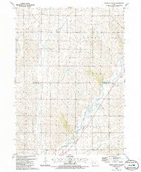
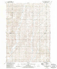
Historical Maps of Woodbury County Through Time
50 maps found
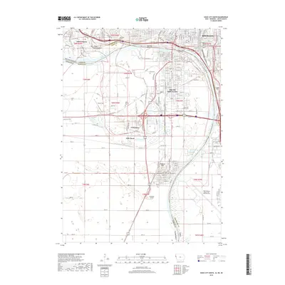
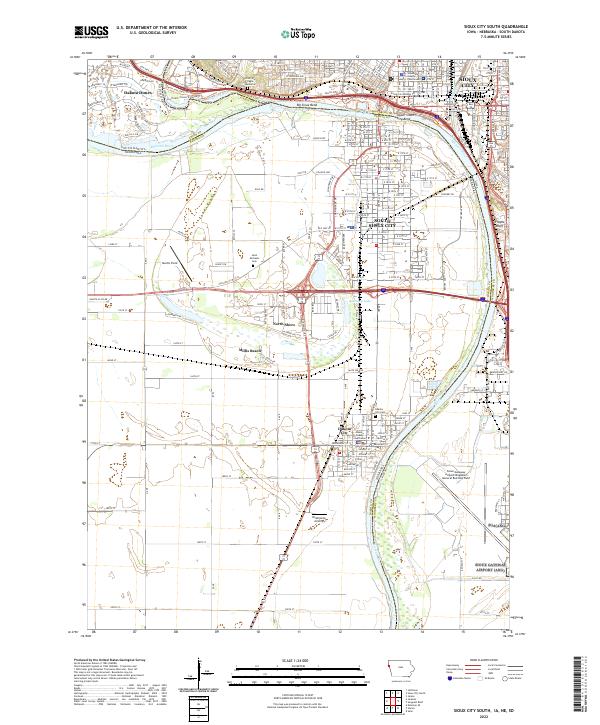
1963 Sioux City South
Woodbury County, IA
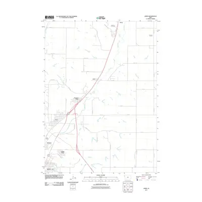
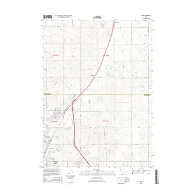
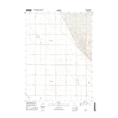
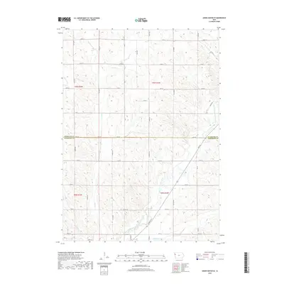
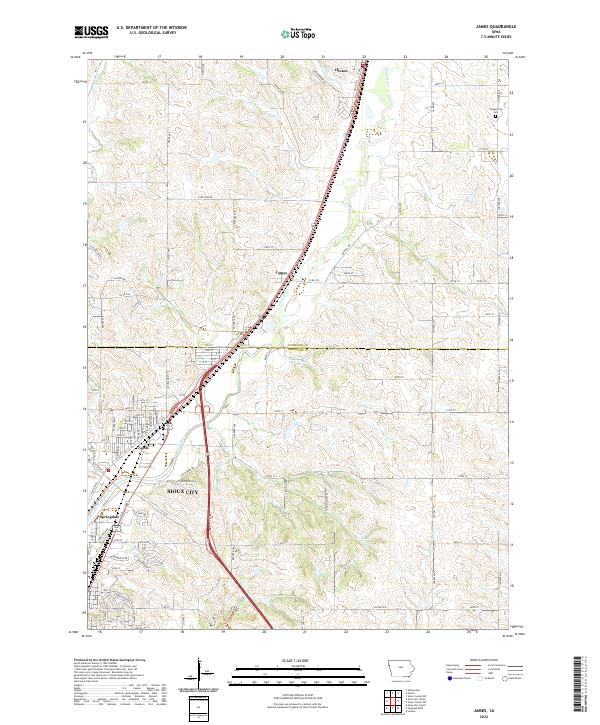
1964 James
Woodbury County, IA
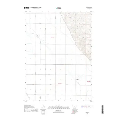
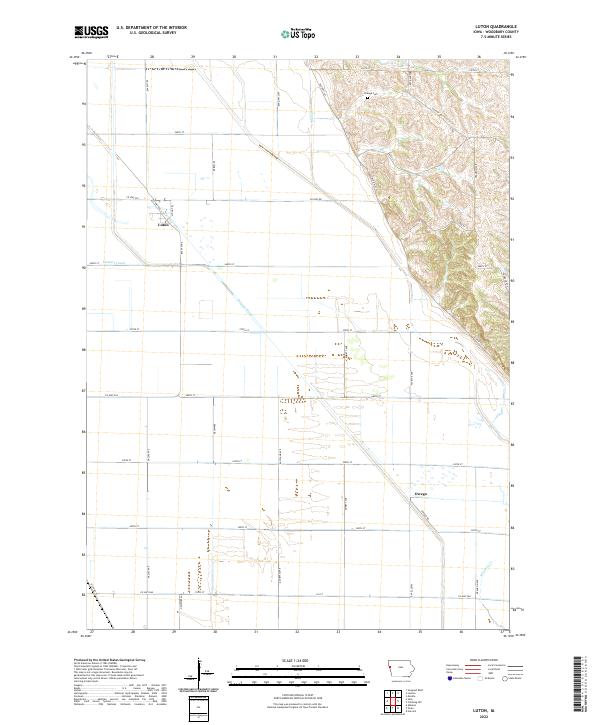
1964 Luton
Woodbury County, IA
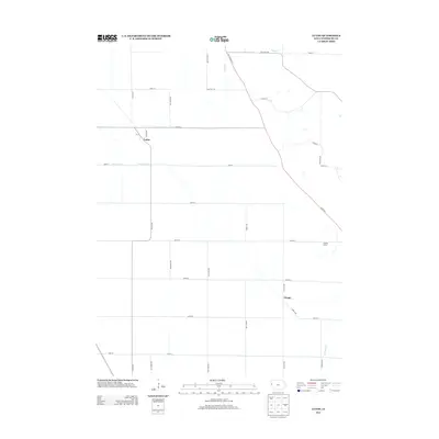
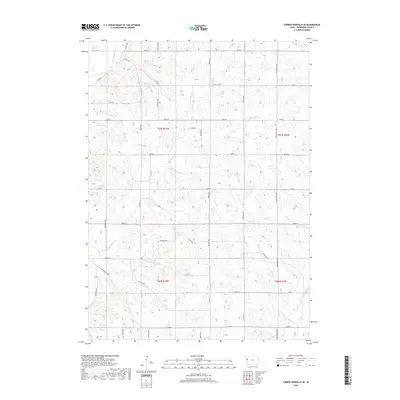
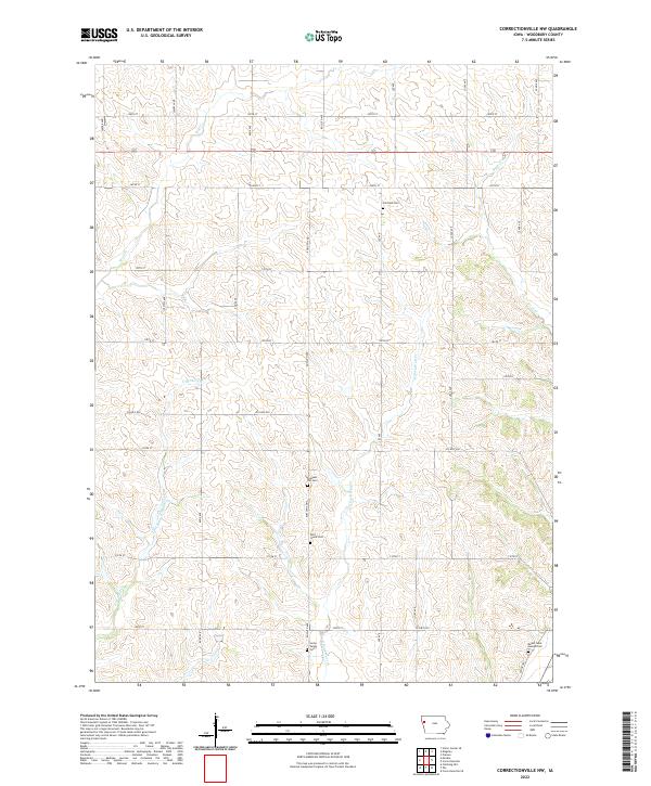
1969 Correctionville NW
Woodbury County, IA

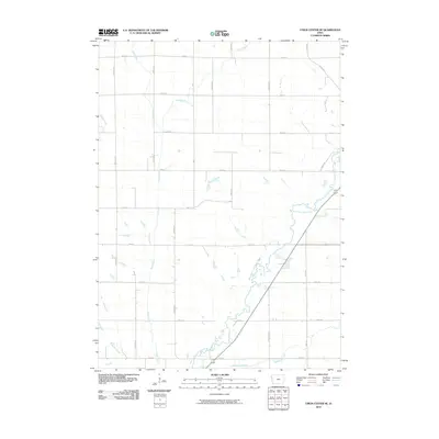
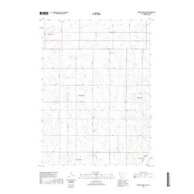
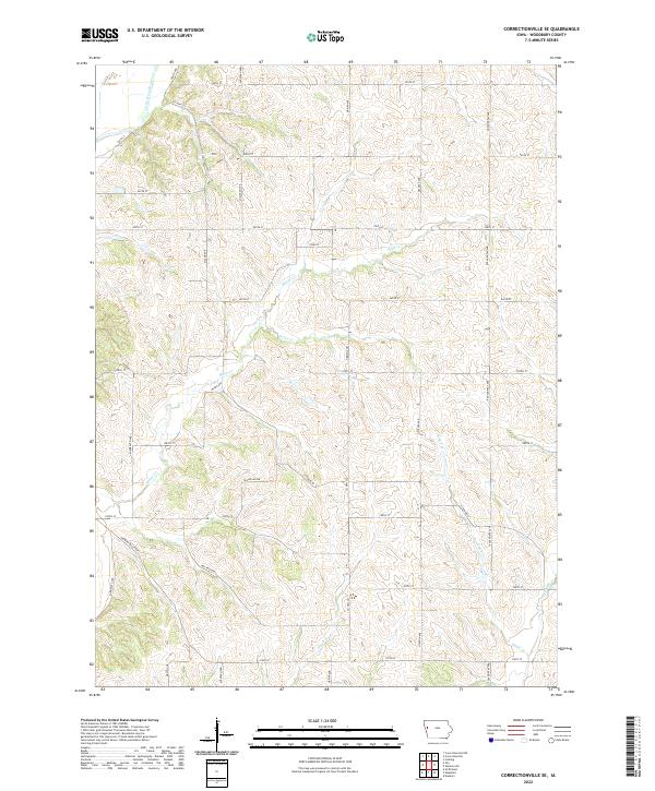
1969 Correctionville SE
Woodbury County, IA
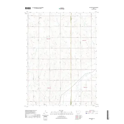
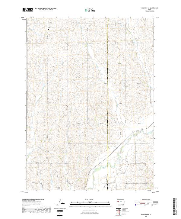
1969 Holstein SW
Woodbury County, IA
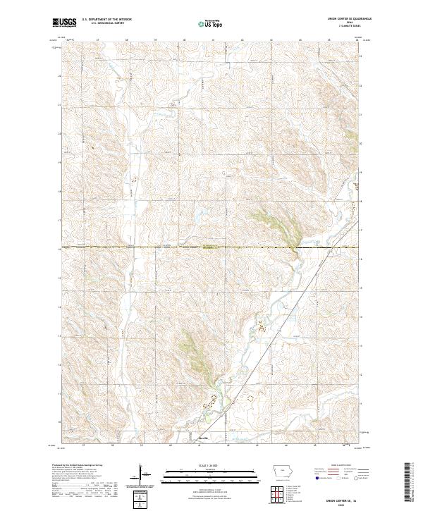
1985 Union Center SE
Woodbury County, IA
1985 Union Center SW
Woodbury County, IA
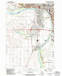
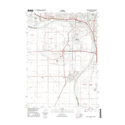
1993 Sioux City South
Woodbury County, IA
1994 James
Woodbury County, IA
2010 Correctionville NW
Woodbury County, IA
2010 Correctionville SE
Woodbury County, IA
2010 Holstein SW
Woodbury County, IA
2010 Luton
Woodbury County, IA
2010 Union Center SE
Woodbury County, IA
2010 Union Center SW
Woodbury County, IA
2011 James
Woodbury County, IA
2012 Sioux City South
Woodbury County, IA
2013 Correctionville NW
Woodbury County, IA
2013 Correctionville SE
Woodbury County, IA
2013 Holstein SW
Woodbury County, IA
2013 James
Woodbury County, IA
2013 Luton
Woodbury County, IA
2013 Sioux City South
Woodbury County, IA
2013 Union Center SE
Woodbury County, IA
2013 Union Center SW
Woodbury County, IA
2015 Correctionville NW
Woodbury County, IA
2015 Correctionville SE
Woodbury County, IA
2015 Holstein SW
Woodbury County, IA
2015 James
Woodbury County, IA
2015 Luton
Woodbury County, IA
2015 Sioux City South
Woodbury County, IA
2015 Union Center SE
Woodbury County, IA
2015 Union Center SW
Woodbury County, IA
2018 Correctionville NW
Woodbury County, IA
2018 Correctionville SE
Woodbury County, IA
2018 Holstein SW
Woodbury County, IA
2018 James
Woodbury County, IA
2018 Luton
Woodbury County, IA
2018 Sioux City South
Woodbury County, IA
2018 Union Center SE
Woodbury County, IA
2018 Union Center SW
Woodbury County, IA
2022 Correctionville NW
Woodbury County, IA
2022 Correctionville SE
Woodbury County, IA
2022 Holstein SW
Woodbury County, IA
2022 James
Woodbury County, IA
2022 Luton
Woodbury County, IA
2022 Sioux City South
Woodbury County, IA
2022 Union Center SE
Woodbury County, IA
2022 Union Center SW
Woodbury County, IA