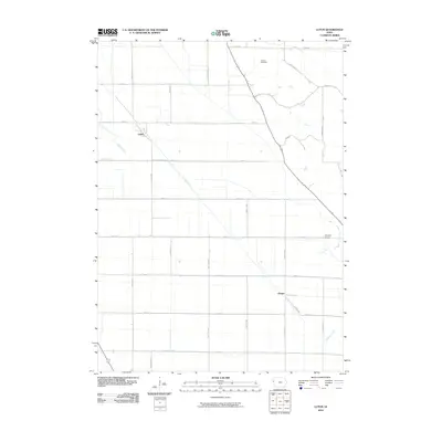
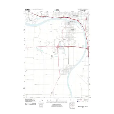
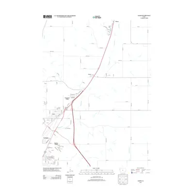
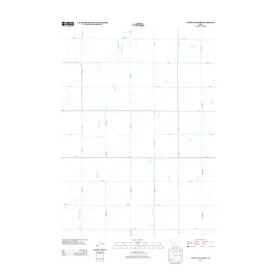
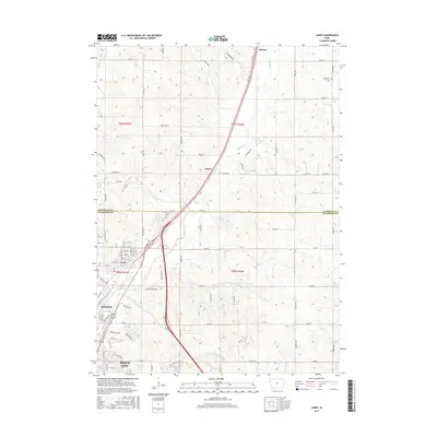
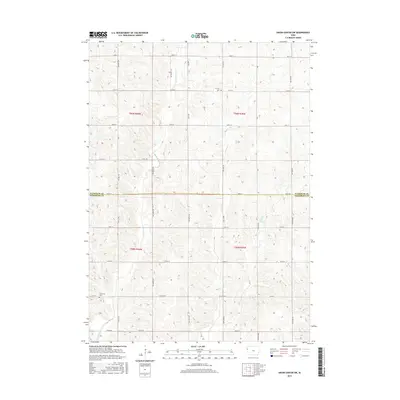
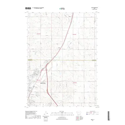
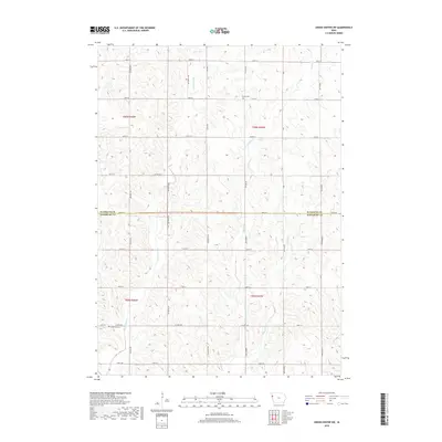
1985 Map of Union Center SW
USGS Topo · Published 1986About this map
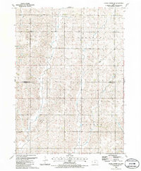
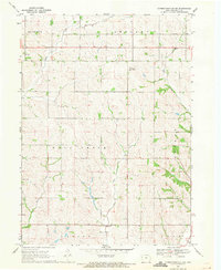
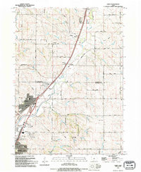
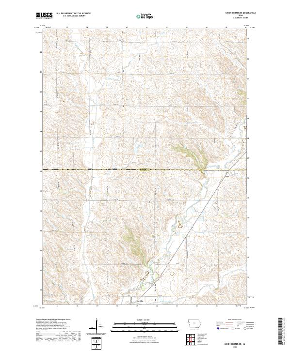
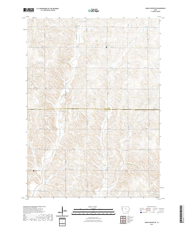
Lincoln Cem and Concordia Cem sit within a highly organized agricultural landscape at the border of Plymouth and Woodbury counties. This mid-1980s survey reflects the enduring township structure of Lincoln, Hungerford, Concord, and Banner. A notable remnant of earlier infrastructure is the Old RR Gr, which cuts through the southwestern corner, marking the path of a former rail line that once served this rural corridor. The drainage patterns of the area are defined by the meandering courses of Big Whisky Creek, Muddy Creek, and Elliott Creek, which thread through the rolling section lines. Local infrastructure is further marked by a Radio Tower and various benchmarks such as BM 1204, indicating the transition from traditional land use to modern communications and utility corridors, including a prominent Pipeline crossing.
Find a feature on this map
14 named features on this map. Tap any name to fly to it.
Don’t see what you’re looking for? This feature index may not catch every label — zoom into the map to look around manually.
Map Details
Editions of this 1985 Union Center SW Map
This is the sole edition of this map. No revisions or reprints were ever made.
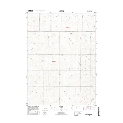
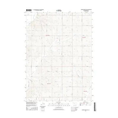
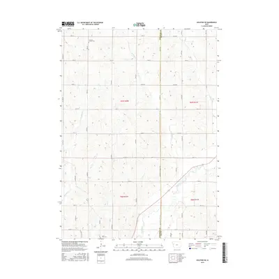
Historical Maps of Woodbury County Through Time
50 maps found
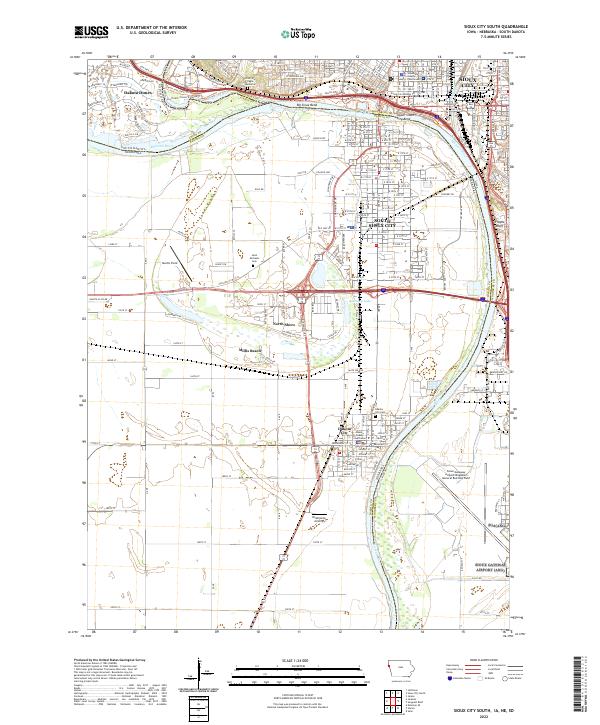
1963 Sioux City South
Woodbury County, IA
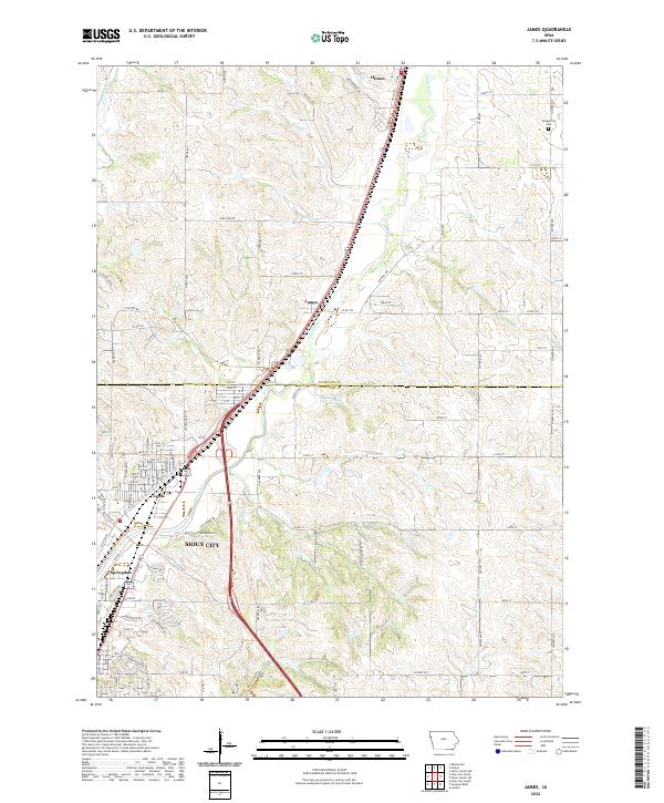
1964 James
Woodbury County, IA
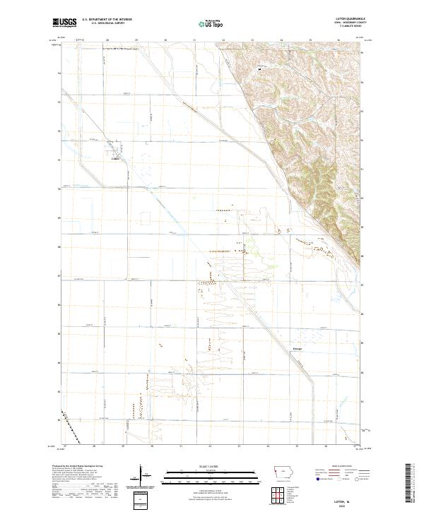
1964 Luton
Woodbury County, IA
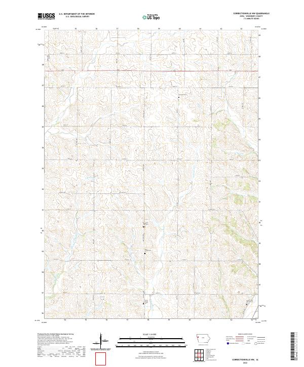
1969 Correctionville NW
Woodbury County, IA

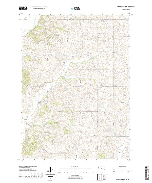
1969 Correctionville SE
Woodbury County, IA
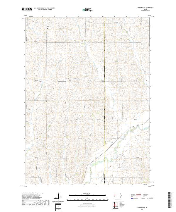
1969 Holstein SW
Woodbury County, IA
1985 Union Center SE
Woodbury County, IA
1985 Union Center SW
Woodbury County, IA
1993 Sioux City South
Woodbury County, IA
1994 James
Woodbury County, IA
2010 Correctionville NW
Woodbury County, IA
2010 Correctionville SE
Woodbury County, IA
2010 Holstein SW
Woodbury County, IA
2010 Luton
Woodbury County, IA
2010 Union Center SE
Woodbury County, IA
2010 Union Center SW
Woodbury County, IA
2011 James
Woodbury County, IA
2012 Sioux City South
Woodbury County, IA
2013 Correctionville NW
Woodbury County, IA
2013 Correctionville SE
Woodbury County, IA
2013 Holstein SW
Woodbury County, IA
2013 James
Woodbury County, IA
2013 Luton
Woodbury County, IA
2013 Sioux City South
Woodbury County, IA
2013 Union Center SE
Woodbury County, IA
2013 Union Center SW
Woodbury County, IA
2015 Correctionville NW
Woodbury County, IA
2015 Correctionville SE
Woodbury County, IA
2015 Holstein SW
Woodbury County, IA
2015 James
Woodbury County, IA
2015 Luton
Woodbury County, IA
2015 Sioux City South
Woodbury County, IA
2015 Union Center SE
Woodbury County, IA
2015 Union Center SW
Woodbury County, IA
2018 Correctionville NW
Woodbury County, IA
2018 Correctionville SE
Woodbury County, IA
2018 Holstein SW
Woodbury County, IA
2018 James
Woodbury County, IA
2018 Luton
Woodbury County, IA
2018 Sioux City South
Woodbury County, IA
2018 Union Center SE
Woodbury County, IA
2018 Union Center SW
Woodbury County, IA
2022 Correctionville NW
Woodbury County, IA
2022 Correctionville SE
Woodbury County, IA
2022 Holstein SW
Woodbury County, IA
2022 James
Woodbury County, IA
2022 Luton
Woodbury County, IA
2022 Sioux City South
Woodbury County, IA
2022 Union Center SE
Woodbury County, IA
2022 Union Center SW
Woodbury County, IA