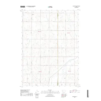
2018 Map of Holstein SW
USGS Topo · Published 2018About this map
The Maple River flows through this rural landscape along the Woodbury and Ida County line, defining a region dominated by agricultural tracts and a grid of secondary roads. The terrain is deeply carved by numerous tributaries, including Big Creek, Moorhead Creek, and Reynolds Creek, which create a series of distinct ridges and valleys across the countryside.
Find a feature on this map
38 named features on this map. Tap any name to fly to it.
Don’t see what you’re looking for? This feature index may not catch every label — zoom into the map to look around manually.
Map Details
Editions of this 2018 Holstein SW Map
This is the sole edition of this map. No revisions or reprints were ever made.
Other maps of this area
1954 · Fort Dodge
USGS Topo · 1:250,000
1957 · Fort Dodge
USGS Topo · 1:250,000
1958 · Fort Dodge
USGS Topo · 1:250,000
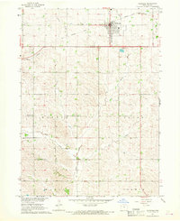
1967 · Holstein
USGS Topo · 1:24,000
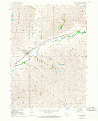
1967 · Battle Creek
USGS Topo · 1:24,000
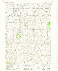
1969 · Danbury
USGS Topo · 1:24,000
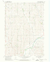
1969 · Holstein SW
USGS Topo · 1:24,000
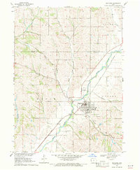
1969 · Mapleton
USGS Topo · 1:24,000
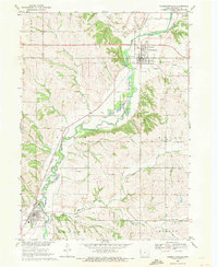
1969 · Correctionville
USGS Topo · 1:24,000
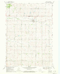
1969 · Cushing
USGS Topo · 1:24,000