
1969 Map of Correctionville
USGS Topo · Published 1971About this map
Correctionville and Anthon serve as the primary hubs along the meandering path of the Little Sioux River in this late 1960s survey of eastern Woodbury County. The landscape is defined by the river's extensive floodplain and its many tributaries, including Pierson Creek, Bacon Creek, and Big Creek. Transportation history is clearly visible through the Illinois Central railroad corridor and an Old Railroad Grade that cuts through the northern townships of Rutland and Union.
Find a feature on this map
32 named features on this map. Tap any name to fly to it.
Don’t see what you’re looking for? This feature index may not catch every label — zoom into the map to look around manually.
Map Details
Editions of this 1969 Correctionville Map
This is the sole edition of this map. No revisions or reprints were ever made.
Other maps of this area

1954 · Fort Dodge
USGS Topo · 1:250,000

1957 · Fort Dodge
USGS Topo · 1:250,000

1958 · Fort Dodge
USGS Topo · 1:250,000

1969 · Holstein SW
USGS Topo · 1:24,000

1969 · Pierson
USGS Topo · 1:24,000

1969 · Correctionville NW
USGS Topo · 1:24,000
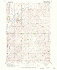
1969 · Kingsley
USGS Topo · 1:24,000

1969 · Cushing
USGS Topo · 1:24,000
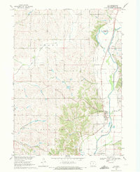
1969 · Oto
USGS Topo · 1:24,000
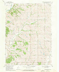
1969 · Correctionville SE
USGS Topo · 1:24,000