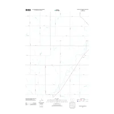
2013 Map of Union Center SE
USGS Topo · Published 2013About this map
The W Fork Little Sioux River meanders through this agricultural landscape southeast of Moville, defining the drainage patterns of Woodbury County. This 2013 survey illustrates a highly structured section-line road network, where routes like Otter Ave, Nature Ave, and 300th St divide the terrain into traditional farming blocks. Several vital tributaries feed into the river system, including Mud Cr and the seasonal path of Dry Br, which carve subtle relief into the prairie. The diagonal orientation of Highway 140 provides a modern contrast to the rigid cardinal-direction grid of the surrounding rural roads. Local genealogists and historians can use these precise road and waterway intersections to pinpoint family homesteads and early 21st-century land divisions, particularly near McElhaney Cr and W Mud Cr in the southern portion of the quadrangle.
Find a feature on this map
34 named features on this map. Tap any name to fly to it.
Don’t see what you’re looking for? This feature index may not catch every label — zoom into the map to look around manually.
Map Details
Editions of this 2013 Union Center SE Map
This is the sole edition of this map. No revisions or reprints were ever made.
Other maps of this area

1954 · Fort Dodge
USGS Topo · 1:250,000

1955 · Sioux City
USGS Topo · 1:250,000

1957 · Fort Dodge
USGS Topo · 1:250,000

1958 · Sioux City
USGS Topo · 1:250,000

1958 · Fort Dodge
USGS Topo · 1:250,000

1959 · Sioux City
USGS Topo · 1:250,000

1962 · Union Center
USGS Topo · 1:62,500

1964 · Lawton
USGS Topo · 1:24,000

1964 · Moville
USGS Topo · 1:24,000

1969 · Correctionville NW
USGS Topo · 1:24,000