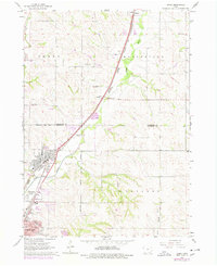
1964 Map of James
USGS Topo · Published 1977About this map
The Floyd River corridor north of Sioux City reveals a landscape defined by heavy rail infrastructure and industrial development during the mid-1960s. This survey, photorevised in the 1970s, captures the convergence of the Chicago and North Western, Illinois Central Gulf, and Burlington Northern railroads as they navigate the river valley. The industrial character of the Leeds and Springdale neighborhoods contrasts with the more rural township divisions of Perry, Hungerford, and Concord.
Find a feature on this map
26 named features on this map. Tap any name to fly to it.
Don’t see what you’re looking for? This feature index may not catch every label — zoom into the map to look around manually.
Map Details
Editions of this 1964 James Map
3 editions found
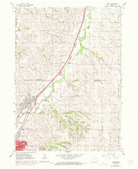
Other maps of this area

1955 · Sioux City
USGS Topo · 1:250,000

1958 · Sioux City
USGS Topo · 1:250,000

1959 · Sioux City
USGS Topo · 1:250,000

1962 · Union Center
USGS Topo · 1:62,500

1963 · Sioux City South
USGS Topo · 1:24,000

1963 · Sioux City North
USGS Topo · 1:24,000

1964 · Sergeant Bluff
USGS Topo · 1:24,000

1964 · James
USGS Topo · 1:24,000

1964 · Hinton
USGS Topo · 1:24,000

1964 · Lawton
USGS Topo · 1:24,000