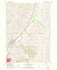
1964 Map of James
USGS Topo · Published 1972About this map
The Floyd River corridor serves as a busy industrial and transportation artery north of Sioux City in this mid-1960s study. Multiple rail lines including the Chicago and North Western and Illinois Central Burlington converge near the Sioux City corporate boundary, tracing the river valley through the townships of Perry, Hungerford, and Concord. The map documents the northern edge of urban expansion at Leeds and Springdale, where residential development and industrial landmarks like a Drive-in Theater and Radio Towers (KSCJ) meet the agricultural landscape.
Find a feature on this map
26 named features on this map. Tap any name to fly to it.
Don’t see what you’re looking for? This feature index may not catch every label — zoom into the map to look around manually.
Map Details
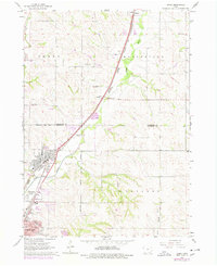
Editions of this 1964 James Map
3 editions found
Other maps of this area

1955 · Sioux City
USGS Topo · 1:250,000

1958 · Sioux City
USGS Topo · 1:250,000

1959 · Sioux City
USGS Topo · 1:250,000

1962 · Union Center
USGS Topo · 1:62,500

1963 · Sioux City South
USGS Topo · 1:24,000

1963 · Sioux City North
USGS Topo · 1:24,000

1964 · Sergeant Bluff
USGS Topo · 1:24,000

1964 · James
USGS Topo · 1:24,000

1964 · Hinton
USGS Topo · 1:24,000

1964 · Lawton
USGS Topo · 1:24,000