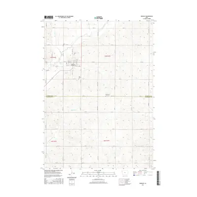
2015 Map of Kingsley
USGS Topo · Published 2015About this map
Kingsley anchors the landscape at the boundary of Plymouth and Woodbury counties, where a network of section roads like Co Rd C66 and Roosevelt Ave crisscross the agricultural heartland of northwest Iowa. The terrain is defined by the dendritic drainage of the West Fork Little Sioux River and its numerous tributaries, including Johns Cr and Wolf Cr. For genealogists, the map is particularly rich in burial sites, documenting local history at Elkhorn Cem, Kingsley Cem, and Saint Michaels Cem. Further south, the Church of the Brethren Cem stands as a distinct landmark near the county line. The settlement pattern reflects a deeply established farming economy, with the town of Kingsley serving as the primary hub for the surrounding rural sections.
Find a feature on this map
48 named features on this map. Tap any name to fly to it.
Don’t see what you’re looking for? This feature index may not catch every label — zoom into the map to look around manually.
Map Details
Editions of this 2015 Kingsley Map
This is the sole edition of this map. No revisions or reprints were ever made.
Other maps of this area

1954 · Fort Dodge
USGS Topo · 1:250,000

1955 · Sioux City
USGS Topo · 1:250,000

1957 · Fort Dodge
USGS Topo · 1:250,000

1958 · Sioux City
USGS Topo · 1:250,000

1958 · Fort Dodge
USGS Topo · 1:250,000

1959 · Sioux City
USGS Topo · 1:250,000

1962 · Union Center
USGS Topo · 1:62,500

1964 · Moville
USGS Topo · 1:24,000

1969 · Pierson
USGS Topo · 1:24,000

1969 · Correctionville NW
USGS Topo · 1:24,000