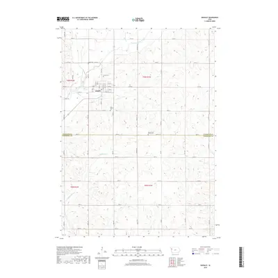
2018 Map of Kingsley
USGS Topo · Published 2018About this map
Kingsley serves as the primary hub of this 2018 survey, situated in the northwestern corner of the quadrangle where the West Fork Little Sioux River winds through the terrain. The town's grid is well-defined by streets such as Brandon St, Barre St, and Rutland St, extending toward the Kingsley Cem on its northern edge. The map captures a predominantly agricultural landscape transitioning across the boundary between Plymouth Co and Woodbury Co.
Find a feature on this map
56 named features on this map. Tap any name to fly to it.
Don’t see what you’re looking for? This feature index may not catch every label — zoom into the map to look around manually.
Map Details
Editions of this 2018 Kingsley Map
This is the sole edition of this map. No revisions or reprints were ever made.
Other maps of this area

1954 · Fort Dodge
USGS Topo · 1:250,000

1955 · Sioux City
USGS Topo · 1:250,000

1957 · Fort Dodge
USGS Topo · 1:250,000

1958 · Sioux City
USGS Topo · 1:250,000

1958 · Fort Dodge
USGS Topo · 1:250,000

1959 · Sioux City
USGS Topo · 1:250,000

1962 · Union Center
USGS Topo · 1:62,500

1964 · Moville
USGS Topo · 1:24,000

1969 · Pierson
USGS Topo · 1:24,000

1969 · Correctionville NW
USGS Topo · 1:24,000