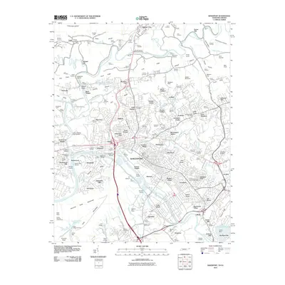
2010 Map of Kingsport
USGS Topo · Published 2010About this map
Kingsport sits at the confluence of the North and South Forks of the Holston River, a landscape defined by significant river crossings and historical transit points like Boones Ford and Rotherwood Bridge. This 2010 survey illustrates the city’s complex development across the valleys of Clinch Mountain and Poor Valley, where industrial expansion meets deep-rooted local history. The map meticulously records numerous family burial grounds and community sites, from the Old Kingsport Cemetery near the riverbanks to the Civilian Conservation Corps Camp Number 2427 further south.
Find a feature on this map
182 named features on this map. Tap any name to fly to it.
Don’t see what you’re looking for? This feature index may not catch every label — zoom into the map to look around manually.
Map Details
Editions of this 2010 Kingsport Map
This is the sole edition of this map. No revisions or reprints were ever made.
Other maps of this area

1891 · Roan Mountain
USGS Topo · 1:125,000

1892 · Greeneville
USGS Topo · 1:125,000

1894 · Roan Mountain
USGS Topo · 1:125,000

1894 · Estillville
USGS Topo · 1:125,000

1896 · Greeneville
USGS Topo · 1:125,000

1897 · Bristol
USGS Topo · 1:125,000

1902 · Bristol
USGS Topo · 1:125,000

1904 · Roan Mountain
USGS Topo · 1:125,000

1904 · Greeneville
USGS Topo · 1:125,000

1935 · Hilton
USGS Topo · 1:24,000