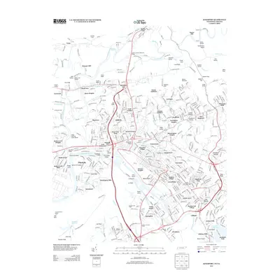
2013 Map of Kingsport
USGS Topo · Published 2013About this map
The S Fork Holston River and N Fork Holston River converge near Rotherwood, shaping a landscape defined by industrial growth and historic river crossings. This 2013 survey of the Tennessee-Virginia borderlands captures the complex suburban and industrial expansion surrounding Kingsport, where dozens of named additions like Doran Addition and Thomas Addition have filled the valleys between Walker Mountain and Cloud Ridge.
Find a feature on this map
138 named features on this map. Tap any name to fly to it.
Don’t see what you’re looking for? This feature index may not catch every label — zoom into the map to look around manually.
Map Details
Editions of this 2013 Kingsport Map
This is the sole edition of this map. No revisions or reprints were ever made.
Other maps of this area

1891 · Roan Mountain
USGS Topo · 1:125,000

1892 · Greeneville
USGS Topo · 1:125,000

1894 · Roan Mountain
USGS Topo · 1:125,000

1894 · Estillville
USGS Topo · 1:125,000

1896 · Greeneville
USGS Topo · 1:125,000

1897 · Bristol
USGS Topo · 1:125,000

1902 · Bristol
USGS Topo · 1:125,000

1904 · Roan Mountain
USGS Topo · 1:125,000

1904 · Greeneville
USGS Topo · 1:125,000

1935 · Hilton
USGS Topo · 1:24,000