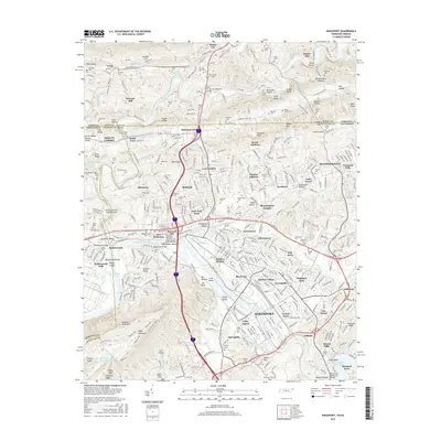
2016 Map of Kingsport
USGS Topo · Published 2016About this map
Kingsport and its surrounding river valleys are defined by the convergence of the South Fork Holston River and North Fork Holston River, a geography that historically supported industry and settlement. This map documents the industrial and residential corridors of Sullivan County, from the rail infrastructure of CSX Transportation to the residential additions like Borden Village and Fair Acres. Cultural history is deeply embedded in the land, evidenced by the high density of family and community burial grounds such as the Old Kingsport Cem and Patton Hill Cem.
Find a feature on this map
158 named features on this map. Tap any name to fly to it.
Don’t see what you’re looking for? This feature index may not catch every label — zoom into the map to look around manually.
Map Details
Editions of this 2016 Kingsport Map
This is the sole edition of this map. No revisions or reprints were ever made.
Other maps of this area

1891 · Roan Mountain
USGS Topo · 1:125,000

1892 · Greeneville
USGS Topo · 1:125,000

1894 · Roan Mountain
USGS Topo · 1:125,000

1894 · Estillville
USGS Topo · 1:125,000

1896 · Greeneville
USGS Topo · 1:125,000

1897 · Bristol
USGS Topo · 1:125,000

1902 · Bristol
USGS Topo · 1:125,000

1904 · Roan Mountain
USGS Topo · 1:125,000

1904 · Greeneville
USGS Topo · 1:125,000

1935 · Hilton
USGS Topo · 1:24,000