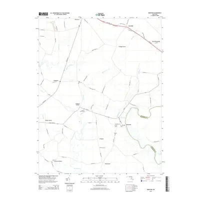
2014 Map of Kingston
USGS Topo · Published 2014About this map
Saint Marks Cem and multiple locations of Rehobeth Cem reflect the deep family roots and community centers established across this Somerset County landscape. The area is defined by its intricate tidal waterways, where the Big Annemessex River and Pocomoke River frame a network of creeks including Annemessex Cr and Marumsco Creek. This coastal geography shaped a settlement pattern of small, distributed crossroads like Kingston, Hudson Corner, and Frogeye, which are linked by historic routes such as the Crisfield Hwy and Ocean Hwy.
Find a feature on this map
73 named features on this map. Tap any name to fly to it.
Don’t see what you’re looking for? This feature index may not catch every label — zoom into the map to look around manually.
Map Details
Editions of this 2014 Kingston Map
This is the sole edition of this map. No revisions or reprints were ever made.
Other maps of this area

1903 · Crisfield
USGS Topo · 1:62,500

1903 · Deal Island
USGS Topo · 1:62,500

1920 · Crisfield
USGS Topo · 1:62,500

1942 · Marion
USGS Topo · 1:24,000

1942 · Monie
USGS Topo · 1:24,000

1942 · Kingston
USGS Topo · 1:24,000

1942 · Princess Anne
USGS Topo · 1:24,000

1942 · Saxis
USGS Topo · 1:24,000

1942 · Dividing Creek
USGS Topo · 1:24,000

1943 · Dividing Creek
USGS Topo · 1:31,680