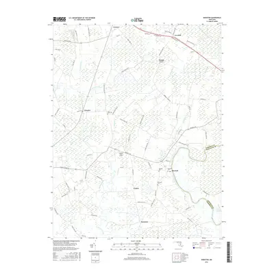
2016 Map of Kingston
USGS Topo · Published 2016About this map
Marumsco Creek and the Big Annemessex River define the low-lying coastal plain of Somerset County in this recent survey. Small settlements and historical landing points like Kingston, Rehobeth, and Marumsco are connected by a network of rural roads that frequently follow the contours of the wetlands, including names like Lovers Ln and Mennonite Church Rd. The landscape is a complex weave of agricultural fields and extensive marshlands, reaching east toward the Pocomoke River and the thick vegetation of the Cypress Swamp.
Find a feature on this map
74 named features on this map. Tap any name to fly to it.
Don’t see what you’re looking for? This feature index may not catch every label — zoom into the map to look around manually.
Map Details
Editions of this 2016 Kingston Map
This is the sole edition of this map. No revisions or reprints were ever made.
Other maps of this area

1903 · Crisfield
USGS Topo · 1:62,500

1903 · Deal Island
USGS Topo · 1:62,500

1920 · Crisfield
USGS Topo · 1:62,500

1942 · Marion
USGS Topo · 1:24,000

1942 · Monie
USGS Topo · 1:24,000

1942 · Kingston
USGS Topo · 1:24,000

1942 · Princess Anne
USGS Topo · 1:24,000

1942 · Saxis
USGS Topo · 1:24,000

1942 · Dividing Creek
USGS Topo · 1:24,000

1943 · Dividing Creek
USGS Topo · 1:31,680